Police Helicopter to Wrenthorpe, Brunel Close
Sunday, 22 March 2026 | 0:41 | From East Ardsley
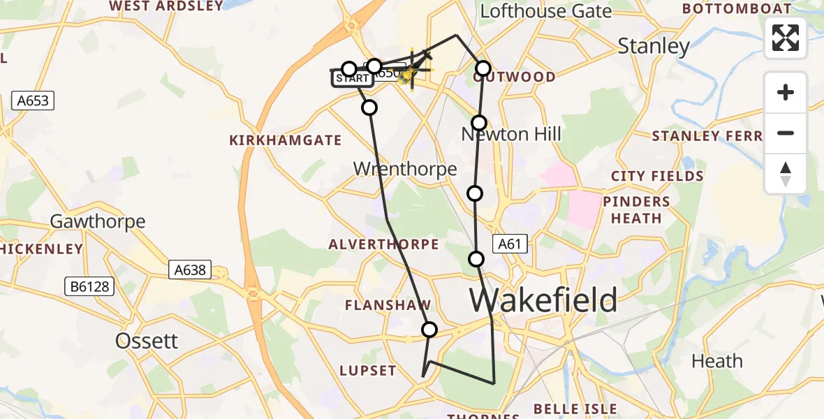
On Sunday, 22 March 2026 at 0:41, a Police Helicopter departed from East Ardsley to Wrenthorpe. It was the Police Helicopter with registration number G-POLB. The flight lasted 6 minutes. During that period, the aircraft travelled 8 miles at an average speed of 81 miles per hour at a maximum altitude of 2300 feet.
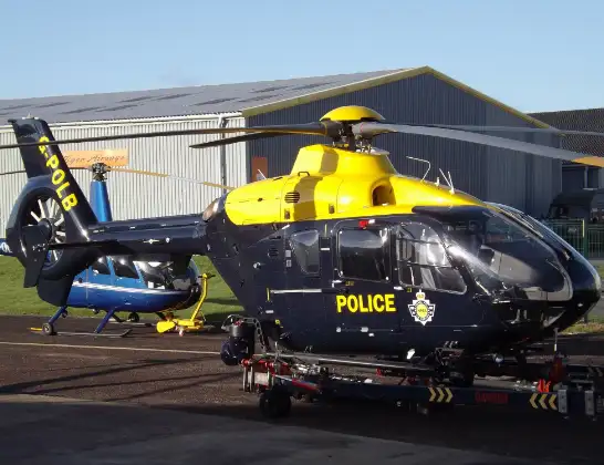
Helicopter: G-POLB
The helicopter G-POLB is used by the British police. The helicopter is deployed in pursuits, missing persons cases and other incidents where a helicopter provides added value.
Photo: James from Cheltenham, Gloucestershire
9 miles
2300 feet
81 mph
7 minutes
00:41
00:47

Route
Brunel Close, Wakefield00:47
East Ardsley, Leeds00:46
Wrenthorpe, Wakefield00:46
Newton Hill, Wakefield00:45
Wrenthorpe, Wakefield00:44
Newton Hill, Wakefield00:44
Wrenthorpe, Wakefield00:44
Wakefield, Wakefield00:42
Wrenthorpe, Wakefield00:41
Stoney Lane, Leeds00:41
Live flights
Today
Flights Wrenthorpe
Police Helicopter to East Ardsley, Stoney Lane11 Jul 20:42
Police Helicopter to East Ardsley, Stoney Lane11 Jul 10:06
Police Helicopter to East Ardsley, M110 Jul 23:38
Police Helicopter to East Ardsley, M19 Jul 21:52
Police Helicopter to Brandy Carr, M13 Jul 07:27
Helicopter flights on your website?
You can easily display helicopter flights on your own website. Use the embed code.
