Air Ambulance Helicopter to North Sea
Saturday, 21 March 2026 | 23:51 | From North Atlantic Ocean
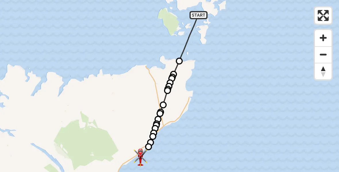
On Saturday, 21 March 2026 at 23:51, a Air Ambulance Helicopter departed from North Atlantic Ocean to North Sea. It was the Air Ambulance Helicopter with registration number G-GSAS. The flight lasted 32 minutes. During that period, the aircraft travelled 59 miles at an average speed of 110 miles per hour at a maximum altitude of 2725 feet.
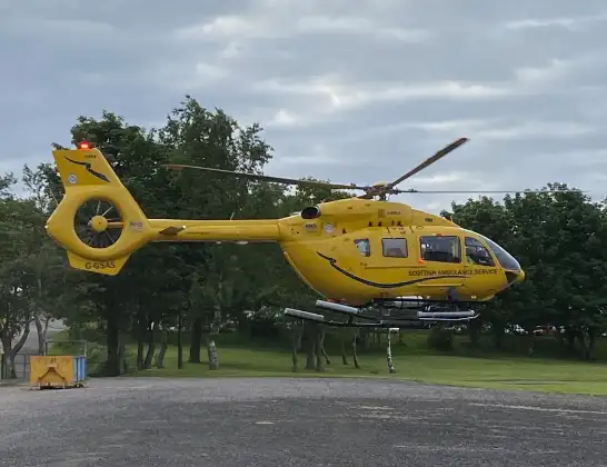
Helicopter: G-GSAS
The helicopter G-GSAS is used as a air ambulance helicopter. The main purpose of this aircraft is to transport a Mobile Medical Team to an incident as quickly as possible, enabling the trauma doctor to provide immediate first aid on site. The aircraft is flying this flight as Air Ambulance Helicopter.
Photo: Scanbus
60 miles
2725 feet
110 mph
33 minutes
23:51
00:23

Route
North Sea, 00:23
North Sea00:21
Berriedale, Berriedale00:20
Newport, Newport00:18
Ramscraig, Ramscraig00:18
Dunbeath, Dunbeath00:17
Houstry, Houstry00:16
Smerral, Smerral00:16
Houstry, Houstry00:15
Latheron, Latheron00:13
Sheppardsdown, Sheppardsdown00:13
Ballachly, Ballachly00:11
Watten, Watten00:08
Loch Watten00:08
Lynegar, Lynegar00:07
North Watten, North Watten00:06
Hastigrow, Hastigrow00:05
Reaster, Reaster00:05
Lochside, Lochside00:05
Mey, Mey00:02
North Atlantic Ocean, 23:51
Live flights
Today
Police Helicopter to Manchester Barton Aerodrome11 Jun 23:39
Police Helicopter to Birmingham Airport11 Jun 23:30
Helicopter flights on your website?
You can easily display helicopter flights on your own website. Use the embed code.
