Air Ambulance Helicopter to Glasgow Airport
Saturday, 21 March 2026 | 13:38 | From RIE Rooftop
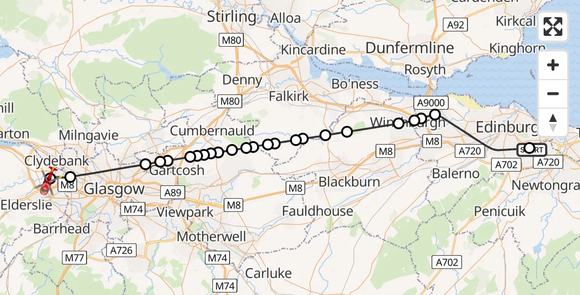
On Saturday, 21 March 2026 at 13:38, a Air Ambulance Helicopter departed from RIE Rooftop to Glasgow Airport. It was the Air Ambulance Helicopter with registration number G-ISAS. The flight lasted 25 minutes. During that period, the aircraft travelled 52 miles at an average speed of 123 miles per hour at a maximum altitude of 1925 feet.
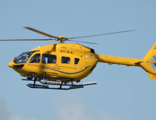
Helicopter: G-ISAS
The helicopter G-ISAS is used as a air ambulance helicopter. The main purpose of this aircraft is to transport a Mobile Medical Team to an incident as quickly as possible, enabling the trauma doctor to provide immediate first aid on site. The aircraft is flying this flight as Air Ambulance Helicopter.
Photo: Jonathan Payne
52 miles
1925 feet
123 mph
26 minutes
13:38
14:04

Route
Glasgow Airport, Glasgow14:04
Glasgow Airport, Glasgow14:03
Renfrew, Renfrew14:02
Glasgow, Glasgow13:58
Stepps, Stepps13:58
Muirhead, Muirhead13:57
Moodiesburn, Moodiesburn13:56
South Medrox, South Medrox13:56
Gain, Gain13:55
Windyridge, Windyridge13:55
Wattston, Wattston13:55
Greengairs, Greengairs13:54
Upperton, Upperton13:53
Upperton, Upperton13:53
Binniehill, Binniehill13:52
Limerigg, Limerigg13:52
Dykehead, Dykehead13:51
Avonbridge, Avonbridge13:51
Westfield, Westfield13:50
Torphichen, Torphichen13:49
Ecclesmachan, Ecclesmachan13:46
Winchburgh, Winchburgh13:46
City of Edinburgh, City of Edinburgh13:45
Dalmeny, City of Edinburgh13:45
City of Edinburgh, City of Edinburgh13:39
Little France Crescent, City of Edinburgh13:38
Live flights
Today
Helicopter flights on your website?
You can easily display helicopter flights on your own website. Use the embed code.
