Police Helicopter to Hawarden Airport
Saturday, 21 March 2026 | 12:38 | From Hawarden Airport
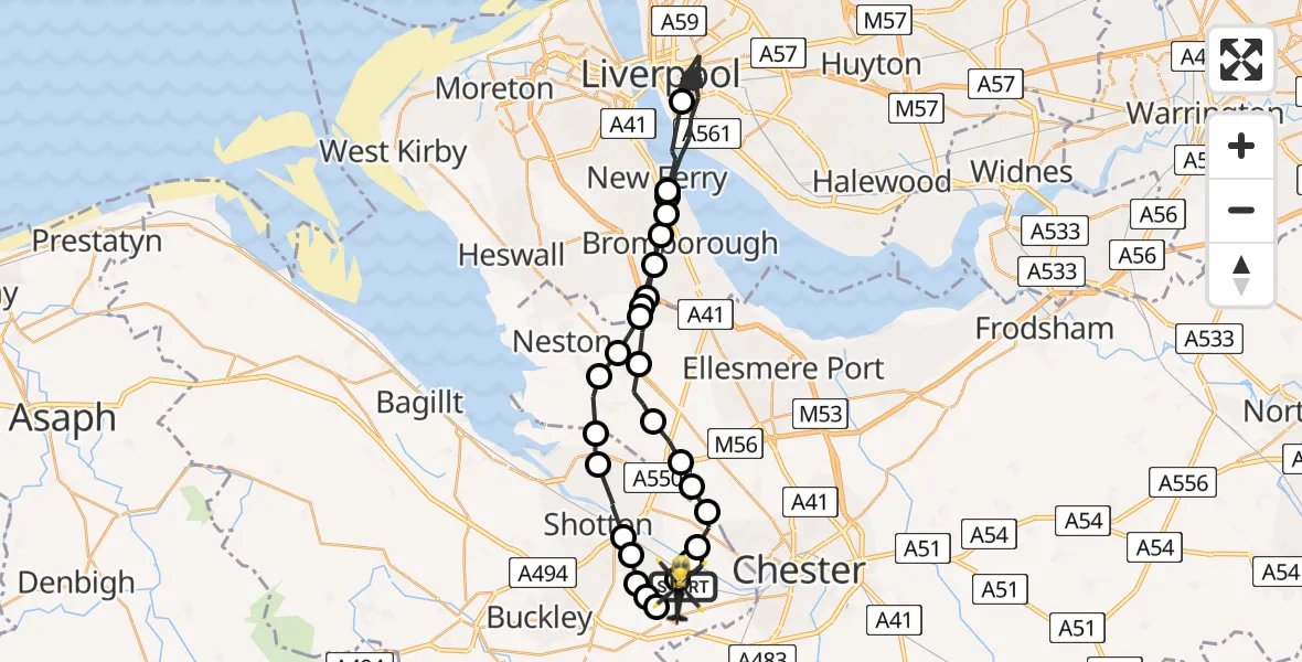
On Saturday, 21 March 2026 at 12:38, a Police Helicopter departed from Hawarden Airport to Hawarden Airport. It was the Police Helicopter with registration number G-POLC. The flight lasted 88 minutes. During that period, the aircraft travelled 93 miles at an average speed of 64 miles per hour at a maximum altitude of 1100 feet.
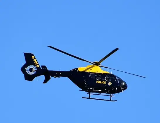
Helicopter: G-POLC
The helicopter G-POLC is used by the British police. The helicopter is deployed in pursuits, missing persons cases and other incidents where a helicopter provides added value.
Photo: Alec Wilson
94 miles
1100 feet
64 mph
89 minutes
12:38
14:06

Route
Hawarden Airport, Broughton14:06
Hawarden Airport, Broughton14:06
Broughton, Broughton14:05
Hawarden, Hawarden14:05
Sandycroft, Sandycroft14:05
Mancot, Mancot14:04
Queensferry, Queensferry14:04
Shotton, Shotton14:03
Connah's Quay, Connah's Quay14:02
Ness, Neston14:02
Neston, Neston14:01
Willaston, Willaston14:01
Raby, Wirral14:01
Raby Mere, Wirral14:00
Bromborough, Wirral13:59
New Ferry, Wirral13:59
Liverpool, Liverpool12:45
New Ferry, Wirral12:44
Bromborough, Wirral12:44
Raby Mere, Wirral12:43
Willaston, Willaston12:42
Puddington, Puddington12:41
Shotwick, Shotwick12:40
Saughall, Saughall12:40
Chester, Chester12:40
Sealand, Sealand12:39
B5129, Saltney Ferry12:39
Hawarden Airport, Broughton12:38
Live flights
Today
Helicopter flights on your website?
You can easily display helicopter flights on your own website. Use the embed code.
