Air Ambulance Helicopter to Cold Ash, Clay Hill Crescent
Friday, 20 March 2026 | 15:27 | From Fyfield
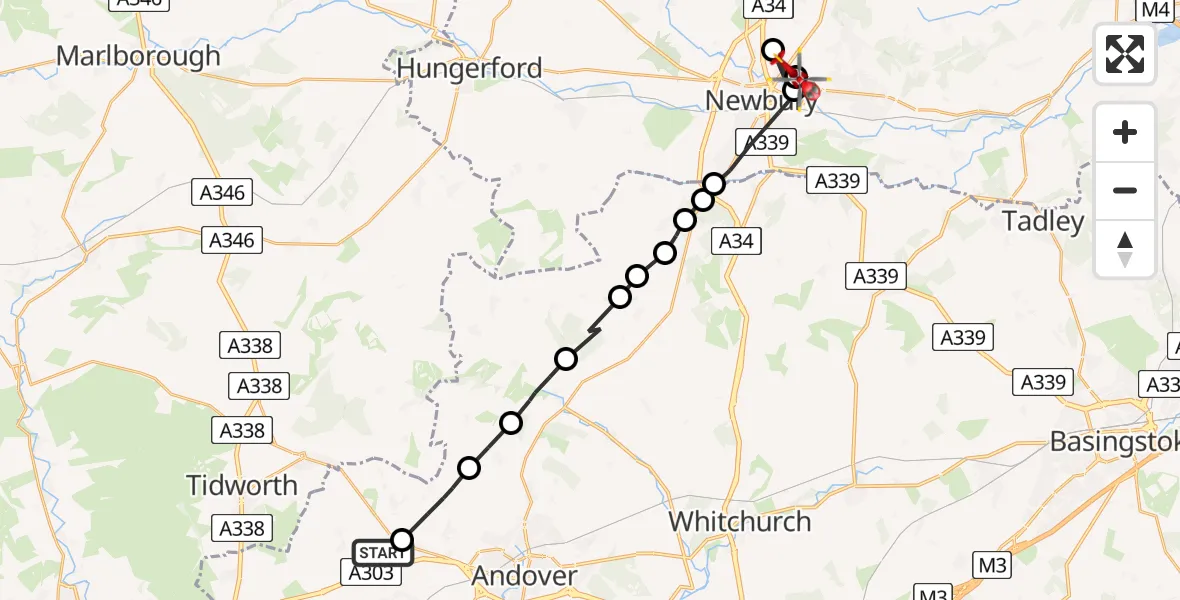
On Friday, 20 March 2026 at 15:27, a Air Ambulance Helicopter departed from Fyfield to Cold Ash. It was the Air Ambulance Helicopter with registration number G-HIOW. The flight lasted 11 minutes. During that period, the aircraft travelled 21 miles at an average speed of 116 miles per hour at a maximum altitude of 1475 feet.
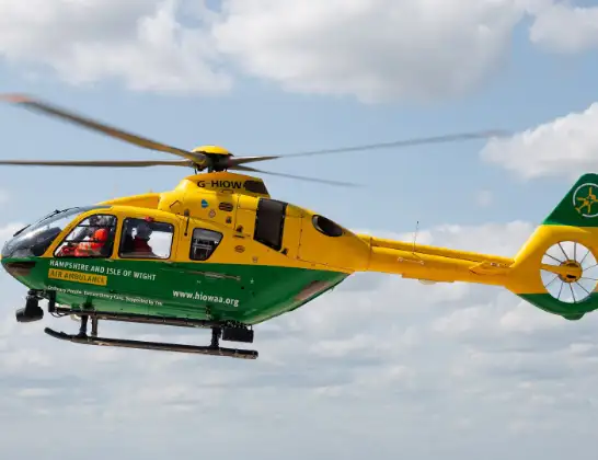
Helicopter: G-HIOW
The helicopter G-HIOW is used as a air ambulance helicopter. The main purpose of this aircraft is to transport a Mobile Medical Team to an incident as quickly as possible, enabling the trauma doctor to provide immediate first aid on site. The aircraft is flying this flight as Air Ambulance Helicopter.
Photo: JF2608
22 miles
1475 feet
116 mph
12 minutes
15:27
15:38

Route
Cold Ash, Cold Ash15:38
Cold Ash, Cold Ash15:37
Clay Hill Crescent, Newbury15:37
Newbury, Newbury15:36
Shaw, Shaw15:36
Newbury, Newbury15:34
Penwood, Basingstoke and Deane15:34
Woolton Hill, Basingstoke and Deane15:33
Highclere, Basingstoke and Deane15:33
Ashmansworth, Basingstoke and Deane15:32
Basingstoke and Deane, Basingstoke and Deane15:32
Faccombe, Test Valley15:31
Ibthorpe, Test Valley15:30
Tangley, Test Valley15:29
Penton Grafton, Test Valley15:27
Fyfield Road, Test Valley15:27
Live flights
Today
Flights Fyfield
Air Ambulance Helicopter to Fyfield16 Apr 20:46
Air Ambulance Helicopter to Fyfield15 Apr 16:10
Helicopter flights on your website?
You can easily display helicopter flights on your own website. Use the embed code.
