Air Ambulance Helicopter to Redhill Aerodrome
Friday, 20 March 2026 | 11:14 | From Kings College London Hospital
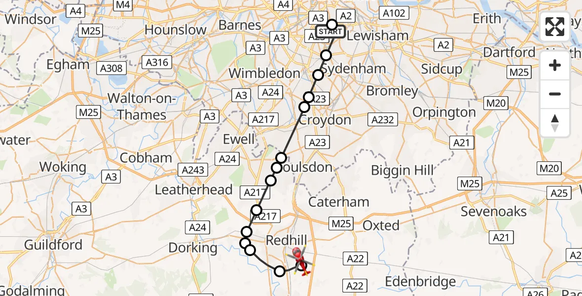
On Friday, 20 March 2026 at 11:14, a Air Ambulance Helicopter departed from Kings College London Hospital to Redhill Aerodrome. It was the Air Ambulance Helicopter with registration number G-KSSC. The flight lasted 19 minutes. During that period, the aircraft travelled 24 miles at an average speed of 77 miles per hour at a maximum altitude of 1075 feet.
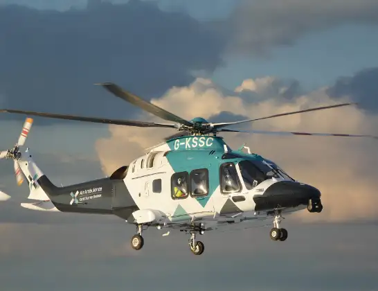
Helicopter: G-KSSC
The helicopter G-KSSC is used as a air ambulance helicopter. The main purpose of this aircraft is to transport a Mobile Medical Team to an incident as quickly as possible, enabling the trauma doctor to provide immediate first aid on site. The aircraft is flying this flight as Air Ambulance Helicopter.
Photo: Shona aakss
24 miles
1075 feet
77 mph
19 minutes
11:14
11:33

Route
Redhill Aerodrome, Redhill, Surrey11:33
Redhill Aerodrome, Redhill, Surrey11:33
Redhill Aerodrome, Redhill, Surrey11:32
Salfords, Reigate and Banstead11:30
Reigate, Reigate and Banstead11:29
Buckland, Reigate11:29
Buckland, Mole Valley11:28
Lower Kingswood, Reigate and Banstead11:28
Kingswood, Reigate and Banstead11:27
Chipstead, Reigate and Banstead11:26
Woodmansterne, Reigate and Banstead11:26
London Borough of Sutton, Greater London11:24
London Borough of Merton, Greater London11:24
London Borough of Croydon, Greater London11:23
London Borough of Lambeth, Greater London11:22
Grove Park, Greater London11:21
London Borough of Southwark, Greater London11:21
Kings College London Hospital, London11:14
Today
Helicopter flights on your website?
You can easily display helicopter flights on your own website. Use the embed code.
