Police Helicopter to East Ardsley, Stoney Lane
Thursday, 19 March 2026 | 14:20 | From Wrenthorpe
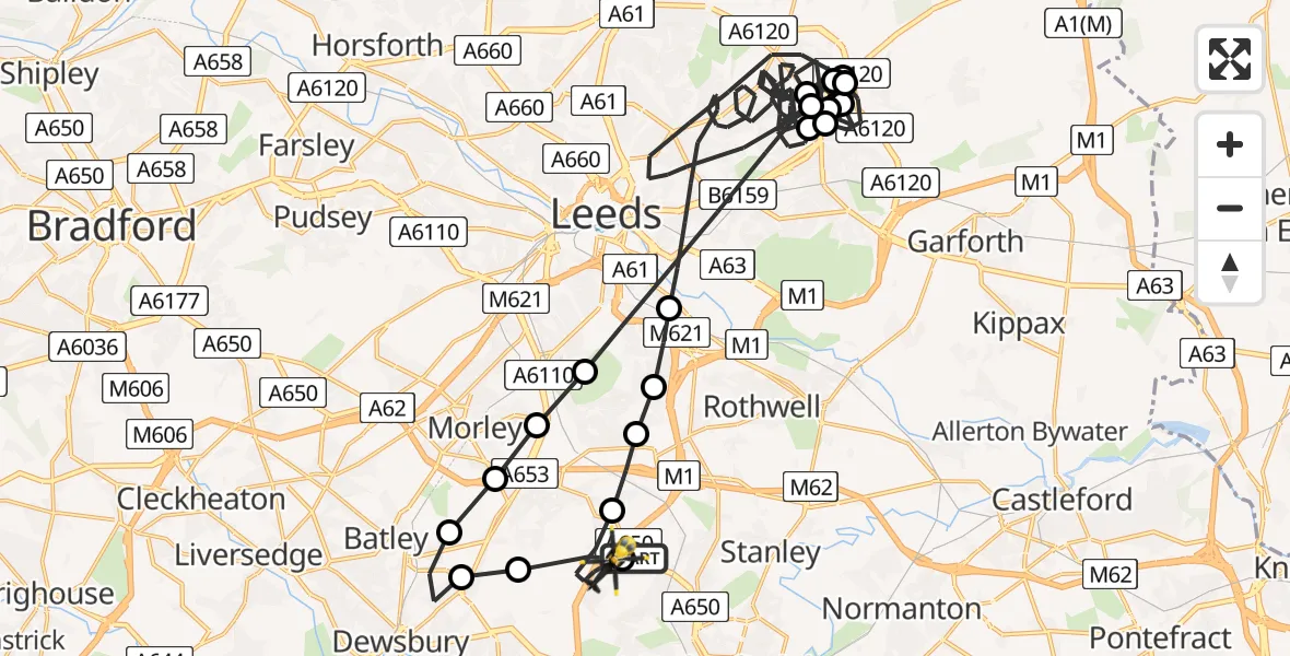
On Thursday, 19 March 2026 at 14:20, a Police Helicopter departed from Wrenthorpe to East Ardsley. It was the Police Helicopter with registration number G-POLB. The flight lasted 47 minutes. During that period, the aircraft travelled 55 miles at an average speed of 71 miles per hour at a maximum altitude of 1500 feet.
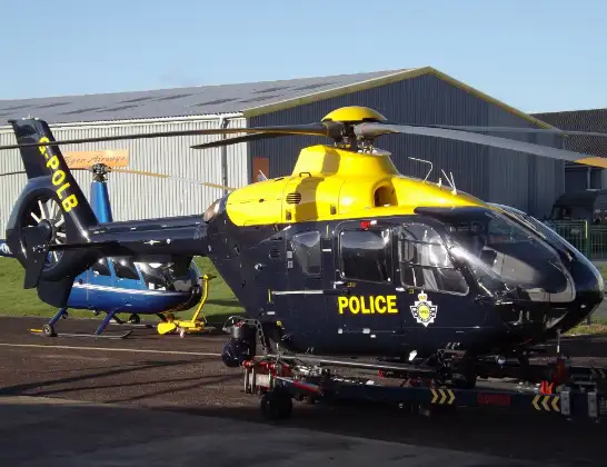
Helicopter: G-POLB
The helicopter G-POLB is used by the British police. The helicopter is deployed in pursuits, missing persons cases and other incidents where a helicopter provides added value.
Photo: James from Cheltenham, Gloucestershire
56 miles
1500 feet
71 mph
47 minutes
14:20
15:06

Route
Stoney Lane, Leeds15:06
East Ardsley, Leeds15:05
Thorpe-on-the-Hill, Leeds15:04
Robin Hood, Leeds15:04
Rothwell, Leeds15:03
Leeds, Leeds14:46
Scholes, Leeds14:45
Leeds, Leeds14:44
Scholes, Leeds14:42
Leeds, Leeds14:41
Scholes, Leeds14:40
Leeds, Leeds14:33
Scholes, Leeds14:31
Leeds, Leeds14:29
Scholes, Leeds14:29
Leeds, Leeds14:25
Morley, Leeds14:25
Tingley, Morley14:24
Batley, Kirklees14:24
Dewsbury, Kirklees14:22
Woodkirk, Morley14:21
East Ardsley, Leeds14:20
A650, Wakefield14:20
Live flights
Today
Flights Wrenthorpe
Police Helicopter to East Ardsley, Stoney Lane11 Jul 20:42
Police Helicopter to East Ardsley, Stoney Lane11 Jul 10:06
Police Helicopter to East Ardsley, M110 Jul 23:38
Police Helicopter to East Ardsley, M19 Jul 21:52
Police Helicopter to Brandy Carr, M13 Jul 07:27
Helicopter flights on your website?
You can easily display helicopter flights on your own website. Use the embed code.
