Air Ambulance Helicopter to Hill Croome, M5
Thursday, 19 March 2026 | 11:03 | From Chipping Campden
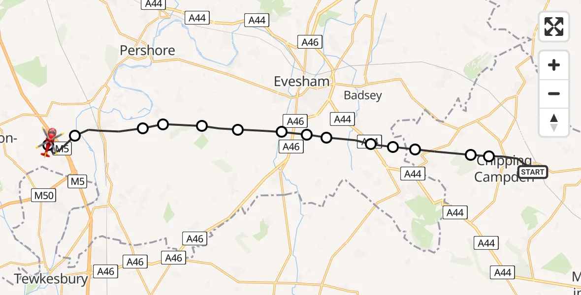
On Thursday, 19 March 2026 at 11:03, a Air Ambulance Helicopter departed from Chipping Campden to Hill Croome. It was the Air Ambulance Helicopter with registration number G-OMAA. The flight lasted 9 minutes. During that period, the aircraft travelled 18 miles at an average speed of 123 miles per hour at a maximum altitude of 1100 feet.
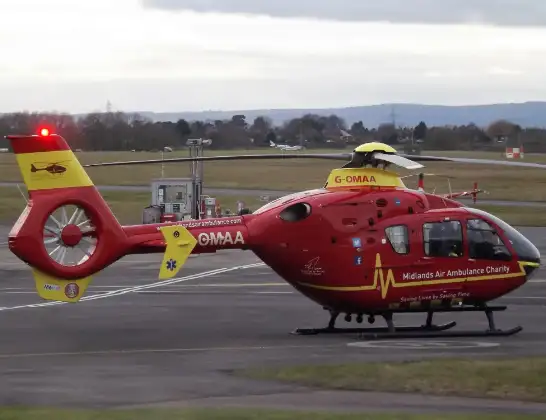
Helicopter: G-OMAA
The helicopter G-OMAA is used as a air ambulance helicopter. The main purpose of this aircraft is to transport a Mobile Medical Team to an incident as quickly as possible, enabling the trauma doctor to provide immediate first aid on site. The aircraft is flying this flight as Air Ambulance Helicopter.
Photo: James from Cheltenham, Gloucestershire
18 miles
1100 feet
123 mph
9 minutes
11:03
11:12

Route
M5, Malvern Hills11:12
Hill Croome, Malvern Hills11:12
Upper Strensham, Wychavon11:11
Eckington, Wychavon11:09
Great Comberton, Wychavon11:09
Elmley Castle, Wychavon11:09
Wychavon, Wychavon11:08
Hinton on the Green, Wychavon11:07
Evesham, Wychavon11:07
Wickhamford, Wychavon11:07
Childswickham, Wychavon11:06
Broadway, Wychavon11:05
Willersey, Cotswold11:05
Weston-sub-Edge, Cotswold11:04
Cotswold, Cotswold11:04
Chipping Campden, Cotswold11:03
Chipping Campden, Cotswold11:03
Live flights
Today
Police Helicopter to Manchester Barton Aerodrome13 Jul 23:56
Police Helicopter to Bournemouth Airport13 Jul 23:55
Air Ambulance Helicopter to Cardiff Heliport13 Jul 23:38
Police Helicopter to Harborough, Sulby Road13 Jul 23:36
Police Helicopter to Birmingham Airport13 Jul 23:21
Helicopter flights on your website?
You can easily display helicopter flights on your own website. Use the embed code.
