Air Ambulance Helicopter to Loch Awe, Inchinnan Drive
Wednesday, 18 March 2026 | 20:02 | From Glasgow Airport
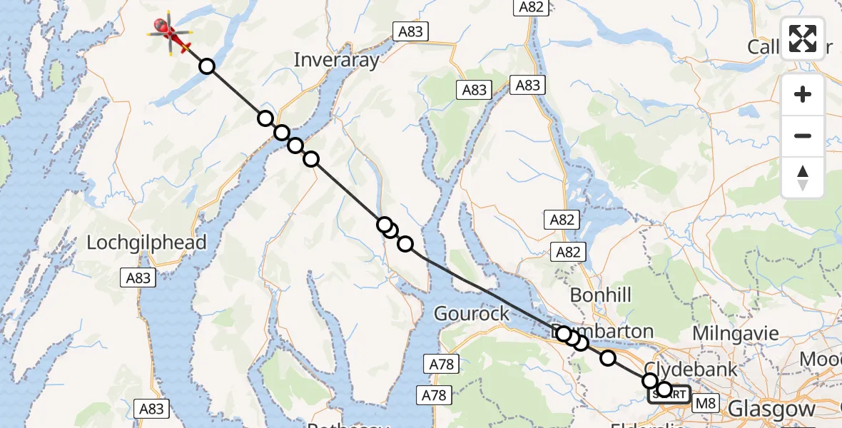
On Wednesday, 18 March 2026 at 20:02, a Air Ambulance Helicopter departed from Glasgow Airport to Loch Awe. It was the Air Ambulance Helicopter with registration number G-ISAS. The flight lasted 21 minutes. During that period, the aircraft travelled 45 miles at an average speed of 132 miles per hour at a maximum altitude of 2675 feet.
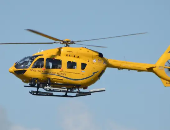
Helicopter: G-ISAS
The helicopter G-ISAS is used as a air ambulance helicopter. The main purpose of this aircraft is to transport a Mobile Medical Team to an incident as quickly as possible, enabling the trauma doctor to provide immediate first aid on site. The aircraft is flying this flight as Air Ambulance Helicopter.
Photo: Jonathan Payne
45 miles
2675 feet
132 mph
21 minutes
20:02
20:23

Route
20:23
Loch Awe20:22
Brenchoille, Brenchoille20:19
Furnace, Furnace20:18
Inner Seas20:18
Dunans, Dunans20:17
Strachur, Strachur20:14
Benmore, Benmore20:14
Ardentinny, Ardentinny20:13
Inner Seas20:07
Park Farm, Park Farm20:07
Park Farm, Park Farm20:06
Langbank, Langbank20:05
Bishopton, Bishopton20:04
Erskine, Erskine20:03
Inchinnan Drive, Erskine20:02
Live flights
Police Helicopter on its way from MOD St Athan11 Jul 23:23
Today
Police Helicopter to Harborough, Sulby Road11 Jul 22:29
Police Helicopter to Almondsbury Helicopter Base11 Jul 22:09
Air Ambulance Helicopter to Glasgow Airport11 Jul 22:04
Police Helicopter to Birmingham Airport11 Jul 21:48
Air Ambulance Helicopter to RAF Northolt11 Jul 21:38
Coastguard Helicopter to Inverness Airport11 Jul 21:30
Air Ambulance Helicopter to Inner Seas11 Jul 21:20
Helicopter flights on your website?
You can easily display helicopter flights on your own website. Use the embed code.
