Air Ambulance Helicopter to North Scale, Cocken Lane (Public Rights of Way across Walney Channel are dangerous. Seek local Guidance.. See Note)
Wednesday, 18 March 2026 | 17:33 | From Barrow in Furness General
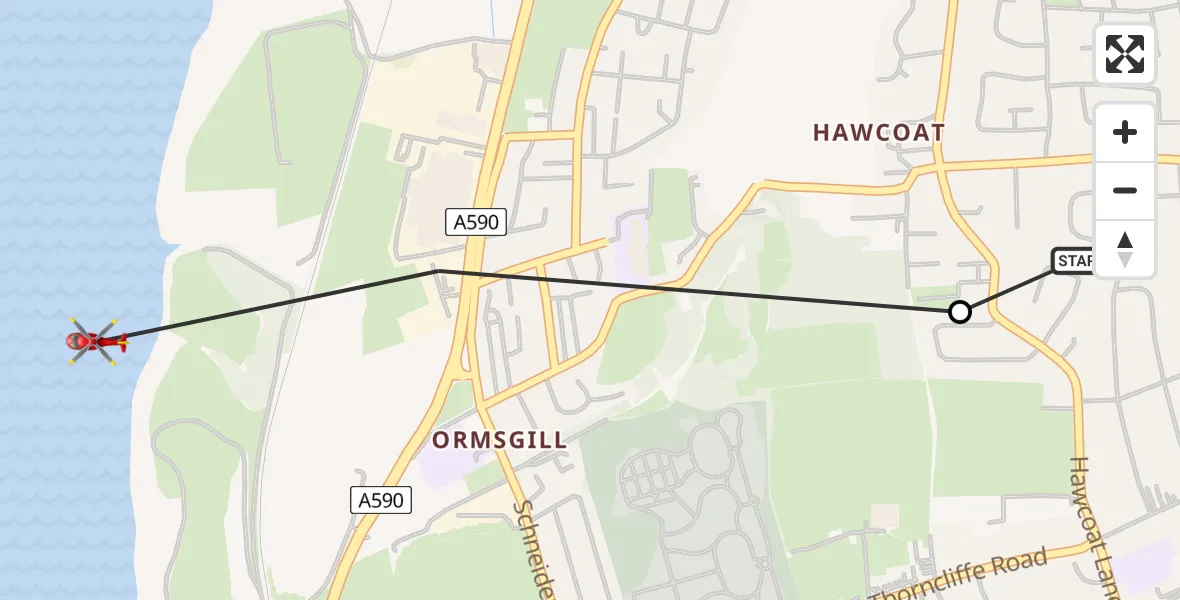
On Wednesday, 18 March 2026 at 17:33, a Air Ambulance Helicopter departed from Barrow in Furness General to North Scale. It was the Air Ambulance Helicopter with registration number G-NHAE. The flight lasted 1 minutes. During that period, the aircraft travelled 1 miles at an average speed of 88 miles per hour at a maximum altitude of 250 feet.
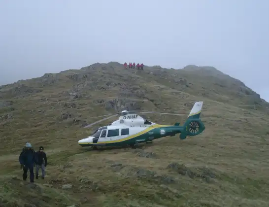
Helicopter: G-NHAE
The helicopter G-NHAE is used as a air ambulance helicopter. The main purpose of this aircraft is to transport a Mobile Medical Team to an incident as quickly as possible, enabling the trauma doctor to provide immediate first aid on site. The aircraft is flying this flight as Air Ambulance Helicopter.
Photo: Michael Earnshaw
2 miles
250 feet
88 mph
1 minutes
17:33
17:33

Route
Cocken Lane (Public Rights of Way across Walney Channel are dangerous. Seek local Guidance.. See Note), North Scale17:33
Barrow-in-Furness, Barrow-in-Furness17:33
Dunmail Raise, Barrow-in-Furness17:33
Live flights
Police Helicopter on its way from Ewelme13 Jul 22:24
Today
Police Helicopter to Bournemouth Airport13 Jul 23:55
Air Ambulance Helicopter to Cardiff Heliport13 Jul 23:38
Police Helicopter to Birmingham Airport13 Jul 23:21
Police Helicopter to Irlam, Twelve Yards Road13 Jul 23:00
Helicopter flights on your website?
You can easily display helicopter flights on your own website. Use the embed code.
