Air Ambulance Helicopter to Norton Juxta Twycross, Chapel Lane
Wednesday, 18 March 2026 | 17:32 | From Bourton on Dunsmore
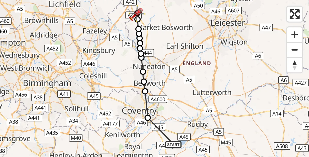
On Wednesday, 18 March 2026 at 17:32, a Air Ambulance Helicopter departed from Bourton on Dunsmore to Norton Juxta Twycross. It was the Air Ambulance Helicopter with registration number G-WNAS. The flight lasted 9 minutes. During that period, the aircraft travelled 26 miles at an average speed of 182 miles per hour at a maximum altitude of 1000 feet.
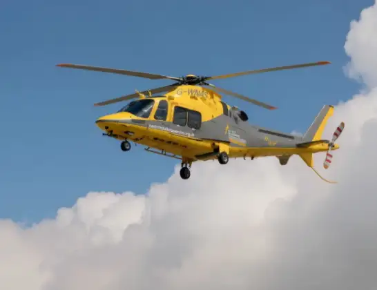
Helicopter: G-WNAS
The helicopter G-WNAS is used as an ambulance helicopter. The helicopter is equipped with a stretcher for transporting patients. The helicopter is often used to transport to hospitals.
Photo: Tony Melony
27 miles
1000 feet
182 mph
9 minutes
17:32
17:41

Route
Chapel Lane, Hinckley and Bosworth17:41
Norton Juxta Twycross, Hinckley and Bosworth17:40
Twycross, Hinckley and Bosworth17:39
Sheepy Magna, Hinckley and Bosworth17:38
Sheepy Parva, Hinckley and Bosworth17:38
Ratcliffe Culey, Hinckley and Bosworth17:38
Witherley, Hinckley and Bosworth17:38
Mancetter CP, Atherstone17:37
Atherstone, North Warwickshire17:37
North Warwickshire, North Warwickshire17:37
Nuneaton, Nuneaton and Bedworth17:36
Bedworth, Nuneaton and Bedworth17:35
Exhall, Nuneaton and Bedworth17:34
Coventry, Coventry17:33
Birdingbury Road, Rugby17:32
Live flights
Today
Police Helicopter to MOD St Athan15 Jul 23:53
Police Helicopter to East Ardsley, Stoney Lane15 Jul 23:36
Helicopter flights on your website?
You can easily display helicopter flights on your own website. Use the embed code.
