Air Ambulance Helicopter to Broad Chalke, Bowerchalke Road
Wednesday, 18 March 2026 | 12:29 | From Wiltshire Air Ambulance
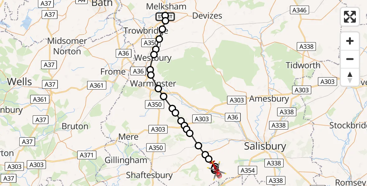
On Wednesday, 18 March 2026 at 12:29, a Air Ambulance Helicopter departed from Wiltshire Air Ambulance to Broad Chalke. It was the Air Ambulance Helicopter with registration number G-WLTS. The flight lasted 17 minutes. During that period, the aircraft travelled 28 miles at an average speed of 96 miles per hour at a maximum altitude of 1775 feet.
Helicopter: G-WLTS
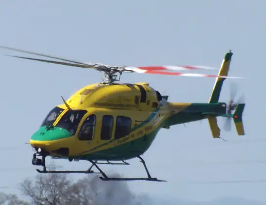
The helicopter G-WLTS is used as a air ambulance helicopter. The main purpose of this aircraft is to transport a Mobile Medical Team to an incident as quickly as possible, enabling the trauma doctor to provide immediate first aid on site. The aircraft is flying this flight as Air Ambulance Helicopter.
Photo: James
28 miles
1775 feet
96 mph
18 minutes
12:29
12:46

Route
Bowerchalke Road, Broad Chalke12:46
Broad Chalke, Broad Chalke12:46
Bowerchalke, Bowerchalke12:45
Broad Chalke, Broad Chalke12:45
Ebbesborne Wake, Ebbesborne Wake12:44
Ansty, Ansty12:44
Sutton Mandeville, Sutton Mandeville12:43
Chilmark, Chilmark12:42
Fonthill Bishop, Fonthill Bishop12:42
Berwick St Leonard, Berwick St Leonard12:42
Sherrington, Sherrington12:41
Boyton, Boyton12:41
Heytesbury, Heytesbury12:40
Sutton Veny, Sutton Veny12:39
Bishopstrow, Bishopstrow12:39
Warminster, Warminster12:38
Upton Scudamore, Upton Scudamore12:37
Westbury, Westbury12:37
Heywood, Heywood12:36
West Ashton, West Ashton12:36
Steeple Ashton, Steeple Ashton12:35
Semington, Semington12:34
Commerce Way, Melksham12:34
Wiltshire Air Ambulance12:29
Today
Helicopter flights on your website?
You can easily display helicopter flights on your own website. Use the embed code.
