Air Ambulance Helicopter to Chippenham, Westmead Lane
Monday, 16 March 2026 | 20:09 | From Blunsdon St Andrew
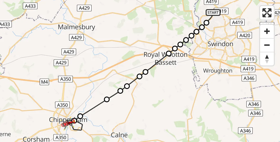
On Monday, 16 March 2026 at 20:09, a Air Ambulance Helicopter departed from Blunsdon St Andrew to Chippenham. It was the Air Ambulance Helicopter with registration number G-WLTS. The flight lasted 18 minutes. During that period, the aircraft travelled 22 miles at an average speed of 73 miles per hour at a maximum altitude of 1300 feet.
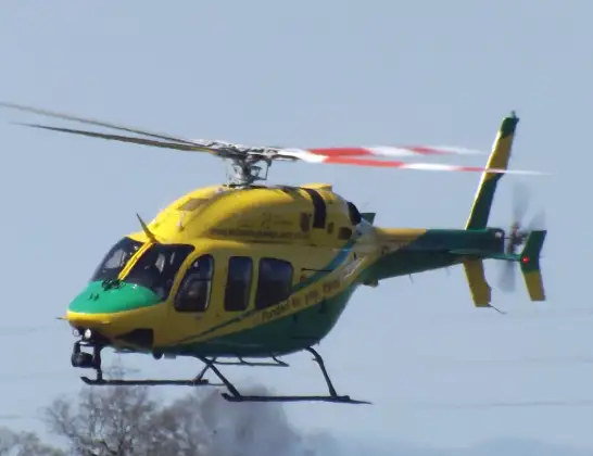
Helicopter: G-WLTS
The helicopter G-WLTS is used as a air ambulance helicopter. The main purpose of this aircraft is to transport a Mobile Medical Team to an incident as quickly as possible, enabling the trauma doctor to provide immediate first aid on site. The aircraft is flying this flight as Air Ambulance Helicopter.
Photo: James
22 miles
1300 feet
73 mph
19 minutes
20:09
20:27

Route
Westmead Lane, Chippenham20:27
Chippenham, Chippenham20:23
Studley, Studley20:22
Bremhill, Bremhill20:21
Foxham, Foxham20:20
RAF Lyneham, Chippenham, Wiltshire20:20
Lyneham, Lyneham20:19
Swindon, Swindon20:19
Royal Wootton Bassett, Royal Wootton Bassett20:17
Hook, Hook20:17
Royal Wootton Bassett, Royal Wootton Bassett20:17
Lydiard Millicent, Lydiard Millicent20:16
Lydiard Millicent, Lydiard Millicent20:16
Peatmoor, Peatmoor20:16
Swindon, Swindon20:15
Haydon Wick, Haydon Wick20:15
Landor Road, Blunsdon St Andrew20:14
Blunsdon St Andrew, Blunsdon St Andrew20:09
Live flights
Today
Flights Chippenham
Helicopter flights on your website?
You can easily display helicopter flights on your own website. Use the embed code.
