Coastguard Helicopter to Camborne, Churchtown Road
Monday, 16 March 2026 | 14:05 | From Cornwall Airport Newquay
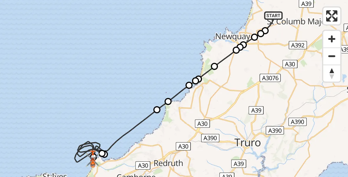
On Monday, 16 March 2026 at 14:05, a Coastguard Helicopter departed from Cornwall Airport Newquay to Camborne. It was the Coastguard Helicopter with registration number G-MCGF. The flight lasted 33 minutes. During that period, the aircraft travelled 41 miles at an average speed of 75 miles per hour at a maximum altitude of 875 feet.
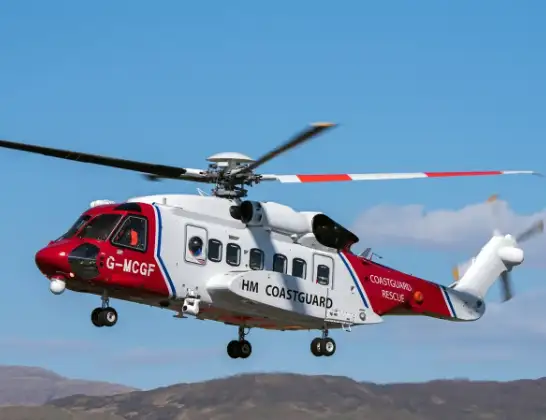
Helicopter: G-MCGF
The helicopter G-MCGF is used by the British Coastguard. The helicopter is deployed in search and rescue operations at sea, rescue operations involving ships or drilling platforms, patrols to prevent smuggling or piracy, environmental monitoring and disaster relief support.
Photo: The Carlisle Kid
42 miles
875 feet
75 mph
34 minutes
14:05
14:39

Route
Camborne, Camborne14:39
Churchtown Road, Camborne14:37
Camborne, Camborne14:34
Bristol Channel14:20
Camborne, Camborne14:20
Bristol Channel14:13
St. Agnes, St. Agnes14:13
Bristol Channel14:12
Perranporth, Perranporth14:11
Perranporth, Perranporth14:11
Perranzabuloe, Perranzabuloe14:10
Cubert, Cubert14:09
Newquay, Newquay14:09
Colan, Colan14:09
St. Columb Minor, Newquay14:08
St. Columb Minor, St. Columb Minor14:08
Trebarva, Trebarva14:07
Cornwall Airport Newquay, Newquay14:06
Cornwall Airport Newquay, Newquay14:05
Live flights
Today
Flights Camborne
Coastguard Helicopter to Camborne, B330110 Jul 15:57
Coastguard Helicopter to Camborne, B33017 May 17:08
Police Helicopter to Cornwall Airport Newquay29 Apr 19:06
Police Helicopter to Camborne, B330129 Apr 17:11
Helicopter flights on your website?
You can easily display helicopter flights on your own website. Use the embed code.
