Air Ambulance Helicopter to Fyfield, Saddlers Mews
Sunday, 15 March 2026 | 13:58 | From Test Valley
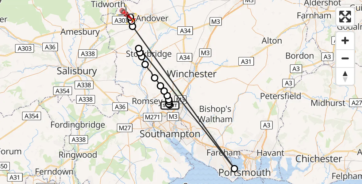
On Sunday, 15 March 2026 at 13:58, a Air Ambulance Helicopter departed from Test Valley to Fyfield. It was the Air Ambulance Helicopter with registration number G-HIOW. The flight lasted 53 minutes. During that period, the aircraft travelled 75 miles at an average speed of 86 miles per hour at a maximum altitude of 1500 feet.
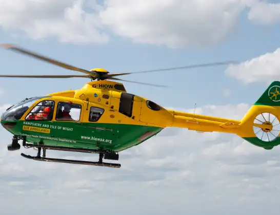
Helicopter: G-HIOW
The helicopter G-HIOW is used as a air ambulance helicopter. The main purpose of this aircraft is to transport a Mobile Medical Team to an incident as quickly as possible, enabling the trauma doctor to provide immediate first aid on site. The aircraft is flying this flight as Air Ambulance Helicopter.
Photo: JF2608
76 miles
1500 feet
86 mph
53 minutes
13:58
14:51

Route
Saddlers Mews, Test Valley14:51
Thruxton, Test Valley14:50
Amport, Test Valley14:50
Monxton, Test Valley14:50
Gosport, Gosport14:49
Test Valley, Test Valley14:48
Nether Wallop, Test Valley14:48
Test Valley, Test Valley14:47
Houghton, Test Valley14:47
King's Somborne, Test Valley14:45
Braishfield, Test Valley14:44
Hursley, Winchester14:44
Ampfield, Test Valley14:43
North Baddesley, Test Valley14:43
Test Valley, Test Valley14:43
Hornbeam Road, Eastleigh14:43
Chandler's Ford, Chandler's Ford14:42
Test Valley, Test Valley13:58
Live flights
Today
Police Helicopter to RAF Benson13:27:37
Flights Fyfield
Air Ambulance Helicopter to Fyfield16 Apr 20:46
Air Ambulance Helicopter to Fyfield15 Apr 16:10
Helicopter flights on your website?
You can easily display helicopter flights on your own website. Use the embed code.
