Air Ambulance Helicopter to Colden Common, Brambridge
Sunday, 15 March 2026 | 1:12 | From Thruxton Aerodrome
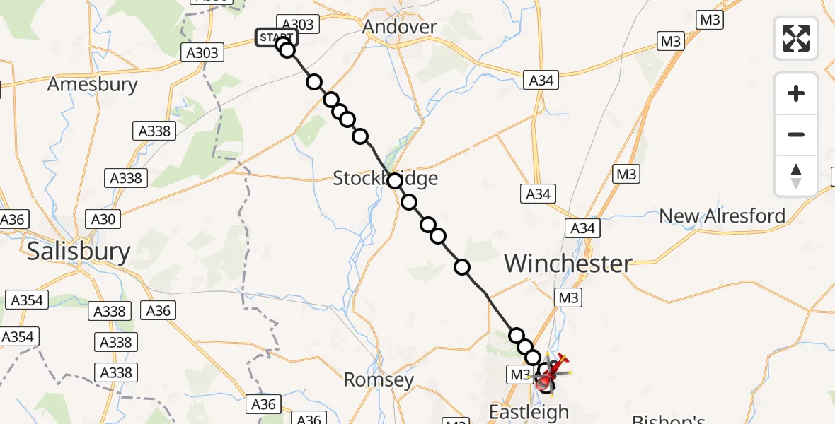
On Sunday, 15 March 2026 at 1:12, a Air Ambulance Helicopter departed from Thruxton Aerodrome to Colden Common. It was the Air Ambulance Helicopter with registration number G-HIOW. The flight lasted 13 minutes. During that period, the aircraft travelled 23 miles at an average speed of 107 miles per hour at a maximum altitude of 1650 feet.
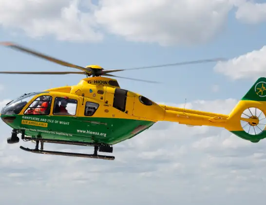
Helicopter: G-HIOW
The helicopter G-HIOW is used as a air ambulance helicopter. The main purpose of this aircraft is to transport a Mobile Medical Team to an incident as quickly as possible, enabling the trauma doctor to provide immediate first aid on site. The aircraft is flying this flight as Air Ambulance Helicopter.
Photo: JF2608
24 miles
1650 feet
107 mph
14 minutes
01:12
01:25

Route
Colden Common, Winchester01:25
Brambridge, Winchester01:25
Moors Close, Winchester01:25
Highbridge Road, Winchester01:24
Lordswood, Winchester01:23
Colden Common, Winchester01:23
Highbridge, Winchester01:22
Bishopstoke, Eastleigh01:22
Colden Common, Winchester01:21
Otterbourne, Winchester01:21
Allbrook, Winchester01:20
Otterbourne, Winchester01:20
Hursley, Winchester01:18
Test Valley, Test Valley01:18
King's Somborne, Test Valley01:17
Test Valley, Test Valley01:17
Stockbridge, Test Valley01:16
Longstock, Test Valley01:15
Test Valley, Test Valley01:15
Upper Clatford, Test Valley01:15
Abbotts Ann, Test Valley01:14
Monxton, Test Valley01:14
Amport, Test Valley01:13
Thruxton, Test Valley01:13
A303, Test Valley01:12
Live flights
Today
Helicopter flights on your website?
You can easily display helicopter flights on your own website. Use the embed code.
