Air Ambulance Helicopter to Wythenshawe, Floats Road
Saturday, 14 March 2026 | 16:21 | From Aston by Budworth
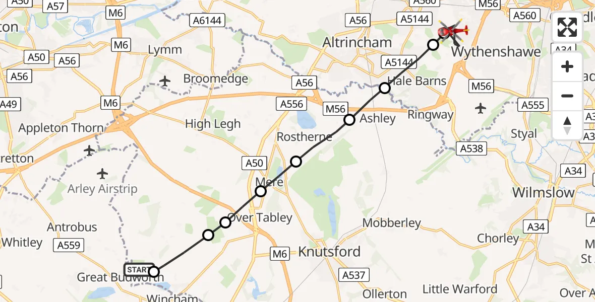
On Saturday, 14 March 2026 at 16:21, a Air Ambulance Helicopter departed from Aston by Budworth to Wythenshawe. It was the Air Ambulance Helicopter with registration number G-NWEM. The flight lasted 8 minutes. During that period, the aircraft travelled 13 miles at an average speed of 98 miles per hour at a maximum altitude of 900 feet.
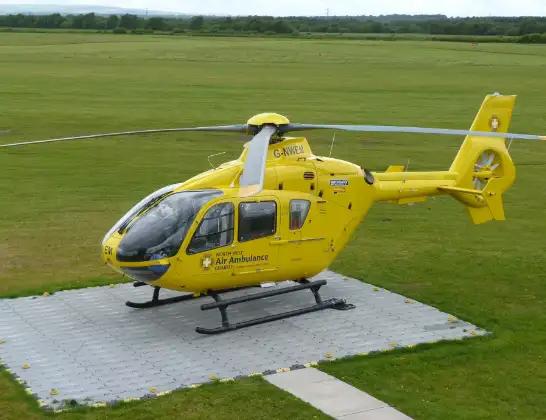
Helicopter: G-NWEM
The helicopter G-NWEM is used as a air ambulance helicopter. The main purpose of this aircraft is to transport a Mobile Medical Team to an incident as quickly as possible, enabling the trauma doctor to provide immediate first aid on site. The aircraft is flying this flight as Air Ambulance Helicopter.
Photo: Craig Sunter
13 miles
900 feet
98 mph
8 minutes
16:21
16:29

Route
Floats Road, Manchester16:29
Wythenshawe, Manchester16:27
Davenport Green, Trafford16:27
Hale Barns, Trafford16:26
Ashley, Ashley16:25
Rostherne, Rostherne16:24
Mere, Mere16:24
Over Tabley, Over Tabley16:23
Aston by Budworth, Aston by Budworth16:23
Pickmere, Pickmere16:22
Westage Lane, Aston by Budworth16:21
Live flights
Today
Police Helicopter to Ilfracombe13:52:31
Flights Wythenshawe
Police Helicopter to Irlam, Twelve Yards Road27 Jun 02:43
Helicopter flights on your website?
You can easily display helicopter flights on your own website. Use the embed code.
