Air Ambulance Helicopter to West Boldon, Gibson Court
Friday, 13 March 2026 | 16:34 | From Longnewton
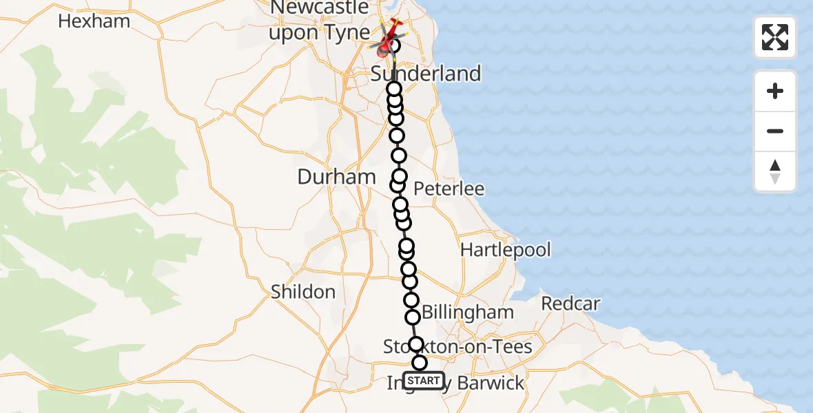
On Friday, 13 March 2026 at 16:34, a Air Ambulance Helicopter departed from Longnewton to West Boldon. It was the Air Ambulance Helicopter with registration number G-NHAE. The flight lasted 12 minutes. During that period, the aircraft travelled 31 miles at an average speed of 152 miles per hour at a maximum altitude of 2025 feet.
Helicopter: G-NHAE
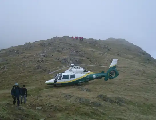
The helicopter G-NHAE is used as a air ambulance helicopter. The main purpose of this aircraft is to transport a Mobile Medical Team to an incident as quickly as possible, enabling the trauma doctor to provide immediate first aid on site. The aircraft is flying this flight as Air Ambulance Helicopter.
Photo: Michael Earnshaw
31 miles
2025 feet
152 mph
13 minutes
16:34
16:47

Route
Gibson Court, South Tyneside16:47
West Boldon, South Tyneside16:45
Sunderland, North East16:44
New Herrington, Sunderland16:43
Houghton-le-Spring, Sunderland16:43
Newbottle, Sunderland16:43
Hetton-le-Hole, Sunderland16:42
Easington Lane, Sunderland16:42
Haswell, North East16:41
Durham, North East16:41
Thornley, North East16:40
Kelloe, North East16:40
Trimdon, North East16:40
Trimdon Village, North East16:39
Fishburn, North East16:39
Sedgefield, North East16:38
Stockton-on-Tees, North East16:38
Sedgefield, North East16:37
Stillington, Tees Valley16:37
Redmarshall, Tees Valley16:36
Elton, Tees Valley16:35
Longnewton, Tees Valley16:34
Live flights
Today
Flights Longnewton
Helicopter flights on your website?
You can easily display helicopter flights on your own website. Use the embed code.
