Air Ambulance Helicopter to Aberdeen City, Westburn Drive
Friday, 13 March 2026 | 14:50 | From Barthol Chapel
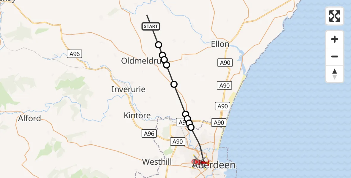
On Friday, 13 March 2026 at 14:50, a Air Ambulance Helicopter departed from Barthol Chapel to Aberdeen City. It was the Air Ambulance Helicopter with registration number G-GSAS. The flight lasted 10 minutes. During that period, the aircraft travelled 20 miles at an average speed of 123 miles per hour at a maximum altitude of 2325 feet.
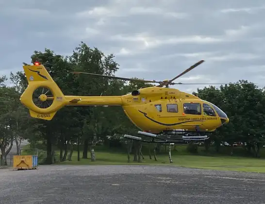
Helicopter: G-GSAS
The helicopter G-GSAS is used as a air ambulance helicopter. The main purpose of this aircraft is to transport a Mobile Medical Team to an incident as quickly as possible, enabling the trauma doctor to provide immediate first aid on site. The aircraft is flying this flight as Air Ambulance Helicopter.
Photo: Scanbus
21 miles
2325 feet
123 mph
10 minutes
14:50
14:59

Route
Westburn Drive, Aberdeen City14:59
Aberdeen City, Aberdeen City14:56
Little Goval, Little Goval14:56
Rosehall, Rosehall14:55
Swailend, Swailend14:55
Newmachar, Newmachar14:54
Udny, Udny14:52
Oldmeldrum, Oldmeldrum14:52
Greystone, Greystone14:52
Oldmeldrum, Oldmeldrum14:51
Barthol Chapel, Barthol Chapel14:50
14:50
Live flights
Police Helicopter on its way from Bishopbriggs14 Jul 23:03
Air Ambulance Helicopter on its way from Devizes14 Jul 22:59
Police Helicopter on its way from Thames View14 Jul 22:44
Police Helicopter on its way from Brandy Carr14 Jul 22:00
Today
Air Ambulance Helicopter to Cardiff Heliport14 Jul 22:43
Coastguard Helicopter to North Sea14 Jul 22:40
Air Ambulance Helicopter to North Sea14 Jul 22:27
Air Ambulance Helicopter to Priory Farm Airstrip14 Jul 22:16
Air Ambulance Helicopter to Papworth Hospital14 Jul 22:02
Air Ambulance Helicopter to Redhill Aerodrome14 Jul 21:58
Coastguard Helicopter to North Sea14 Jul 21:56
Helicopter flights on your website?
You can easily display helicopter flights on your own website. Use the embed code.
