Police Helicopter to East Ardsley, Stoney Lane
Friday, 13 March 2026 | 7:30 | From East Ardsley
On Friday, 13 March 2026 at 7:30, a Police Helicopter departed from East Ardsley to East Ardsley. It was the Police Helicopter with registration number G-POLB. The flight lasted 11 minutes. During that period, the aircraft travelled 21 miles at an average speed of 110 miles per hour at a maximum altitude of 2200 feet.
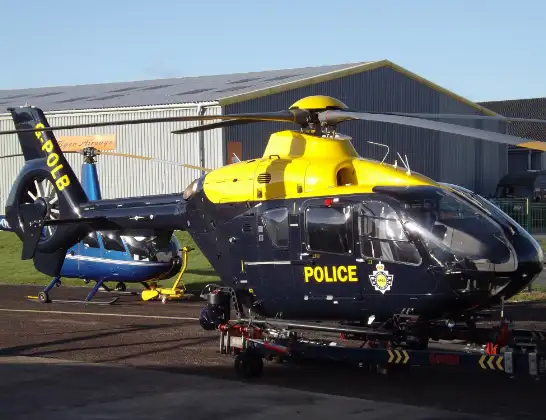
Helicopter: G-POLB
The helicopter G-POLB is used by the British police. The helicopter is deployed in pursuits, missing persons cases and other incidents where a helicopter provides added value.
Photo: James from Cheltenham, Gloucestershire
21 miles
2200 feet
110 mph
12 minutes
07:30
07:41

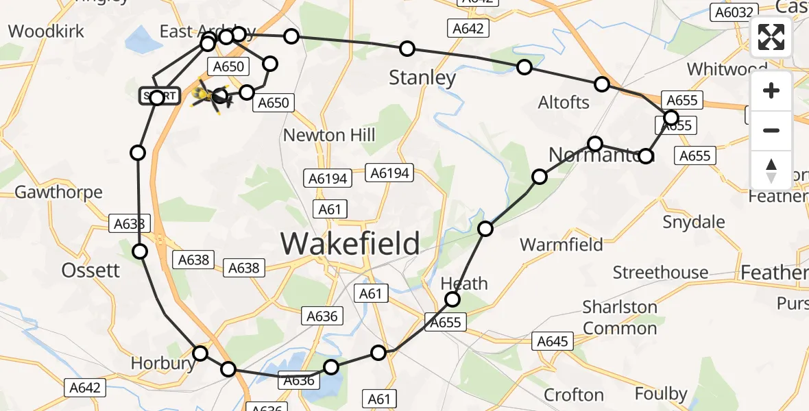
Route
Stoney Lane, Leeds07:41
East Ardsley, Leeds07:41
Wrenthorpe, Wakefield07:41
Newton Hill, Wakefield07:40
East Ardsley, Leeds07:40
East Ardsley, Wakefield07:39
East Ardsley, Leeds07:39
Gawthorpe, Wakefield07:39
Ossett, Wakefield07:38
Horbury, Wakefield07:38
Calder Grove, Wakefield07:37
Durkar, Wakefield07:36
Wakefield, Wakefield07:36
Heath, Wakefield07:35
Kirkthorpe, Wakefield07:35
Warmfield, Wakefield07:34
Altofts, Normanton and Altofts07:34
Snydale, Normanton and Altofts07:33
Whitwood, Normanton and Altofts07:33
Altofts, Normanton and Altofts07:32
Altofts, Wakefield07:32
Stanley, Wakefield07:32
Lofthouse Gate, Wakefield07:31
East Ardsley, Leeds07:31
East Ardsley, Wakefield07:30
Woodhouse Lane, Leeds07:30
Live flights
Today
Helicopter flights on your website?
You can easily display helicopter flights on your own website. Use the embed code.
