Air Ambulance Aircraft to Gabhsann bho Dheas, Inverness
Thursday, 12 March 2026 | 12:15 | From Inverness
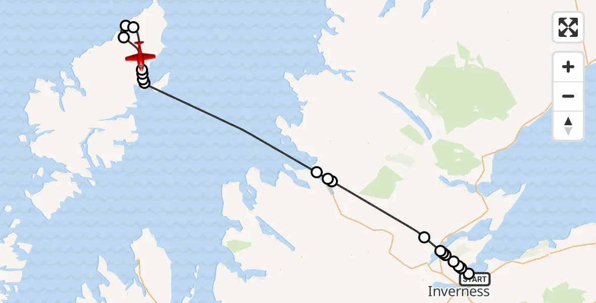
On Thursday, 12 March 2026 at 12:15, a Air Ambulance Aircraft departed from Inverness to Gabhsann bho Dheas. It was the Air Ambulance Aircraft with registration number G-SASC. The flight lasted 33 minutes. During that period, the aircraft travelled 120 miles at an average speed of 216 miles per hour at a maximum altitude of 10025 feet.
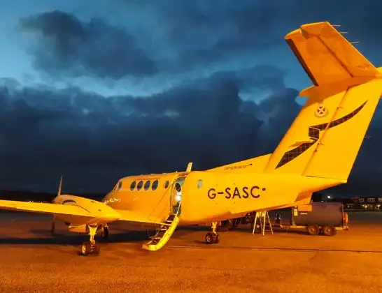
Helicopter: G-SASC
The aircraft G-SASC is used as an air ambulance aircraft. The main purpose of this aircraft is to transport a Mobile Medical Team to an incident as quickly as possible, enabling the trauma doctor to provide immediate first aid on site. The aircraft is flying this flight as Air Ambulance Aircraft.
Photo: Mike Pennington
120 miles
10025 feet
216 mph
34 minutes
12:15
12:48

Route
12:48
Gabhsann bho Dheas, Gabhsann bho Dheas12:46
Borgh, Borgh12:45
Siadar, Siadar12:44
Col Uarach, Col Uarach12:42
Àird Thunga, Àird Thunga12:41
Steinis, Steinis12:41
Stornoway Airport, Stornoway, Western Isles12:41
Inner Seas12:28
Ullapool, Ullapool12:27
Leckmelm, Leckmelm12:27
Dingwall, Dingwall12:20
Culbokie, Culbokie12:19
Findon Mains, Findon Mains12:18
Culbokie, Culbokie12:18
Belmaduthy, Belmaduthy12:17
Inverness, Inverness12:17
Munlochy, Munlochy12:16
Avoch, Avoch12:16
Inverness, Inverness12:15
Live flights
Police Helicopter on its way from Ewelme13 Jul 22:24
Today
Police Helicopter to Manchester Barton Aerodrome13 Jul 23:56
Police Helicopter to Bournemouth Airport13 Jul 23:55
Air Ambulance Helicopter to Cardiff Heliport13 Jul 23:38
Police Helicopter to Birmingham Airport13 Jul 23:21
Police Helicopter to Irlam, Twelve Yards Road13 Jul 23:00
Flights Inverness
Air Ambulance Helicopter to Inverness13 Jul 17:28
Coastguard Helicopter to Inverness Airport13 Jul 15:18
Coastguard Helicopter to Coire Sgreamhach12 Jul 17:55
Helicopter flights on your website?
You can easily display helicopter flights on your own website. Use the embed code.
