Air Ambulance Aircraft to North Sea
Wednesday, 11 March 2026 | 15:13 | From Aberdeen International Airport
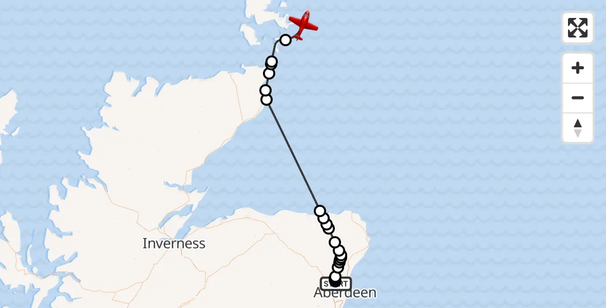
On Wednesday, 11 March 2026 at 15:13, a Air Ambulance Aircraft departed from Aberdeen International Airport to North Sea. It was the Air Ambulance Aircraft with registration number G-SASC. The flight lasted 31 minutes. During that period, the aircraft travelled 133 miles at an average speed of 257 miles per hour at a maximum altitude of 14025 feet.
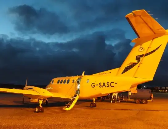
Helicopter: G-SASC
The aircraft G-SASC is used as an air ambulance aircraft. The main purpose of this aircraft is to transport a Mobile Medical Team to an incident as quickly as possible, enabling the trauma doctor to provide immediate first aid on site. The aircraft is flying this flight as Air Ambulance Aircraft.
Photo: Mike Pennington
134 miles
14025 feet
257 mph
32 minutes
15:13
15:44

Route
North Sea, 15:44
North Sea15:42
North Atlantic Ocean15:40
North Sea15:39
Skirza / Skirsa, Skirza / Skirsa15:39
North Sea15:37
Wick, Wick15:36
North Sea15:24
Pennan, Pennan15:23
Crudie, Crudie15:22
New Byth, New Byth15:22
New Deer, New Deer15:19
Quilquox, Quilquox15:18
Mains of Inverebrie, Mains of Inverebrie15:18
Ythanbank, Ythanbank15:17
Tarves, Tarves15:17
Pitmedden, Pitmedden15:17
Milldale, Milldale15:16
Newmachar, Newmachar15:14
Highlands, Highlands15:14
Cothal, Cothal15:14
Aberdeen City, Aberdeen City15:14
Dyce Drive, Aberdeen City15:13
Live flights
Today
Coastguard Helicopter to Siabost10:19:00
Helicopter flights on your website?
You can easily display helicopter flights on your own website. Use the embed code.
