Air Ambulance Helicopter to RAF Northolt
Tuesday, 10 March 2026 | 17:44 | From London Borough of Havering
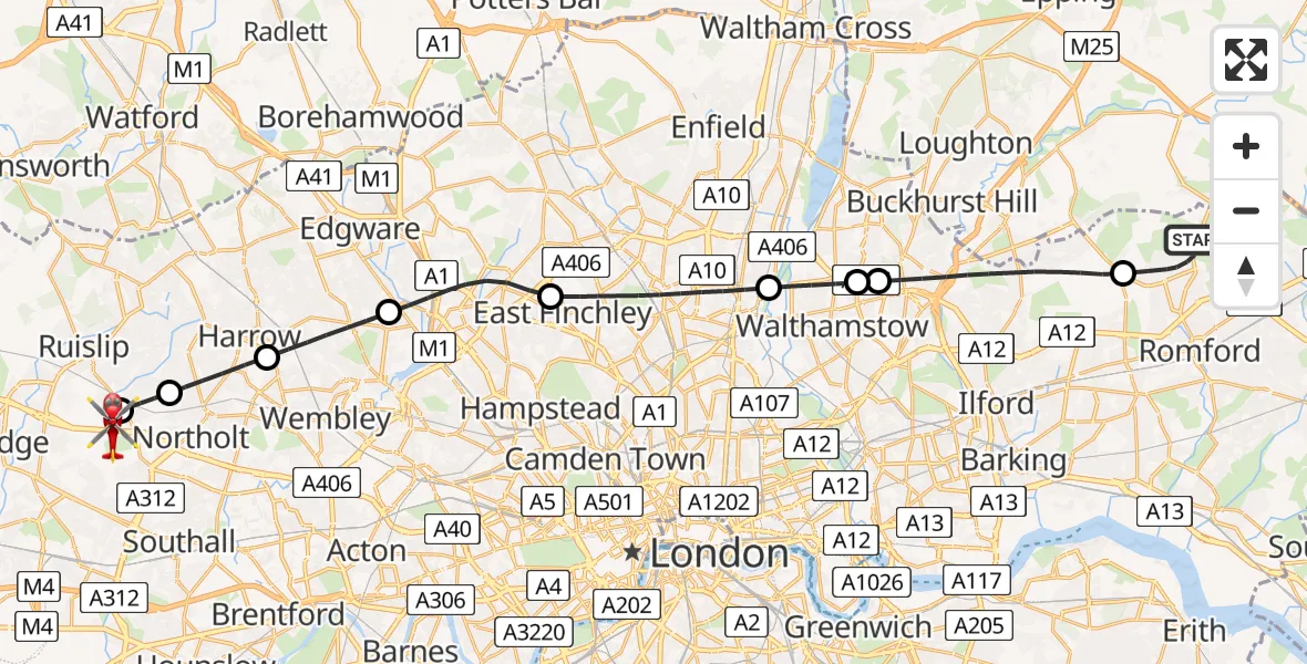
On Tuesday, 10 March 2026 at 17:44, a Air Ambulance Helicopter departed from London Borough of Havering to RAF Northolt. It was the Air Ambulance Helicopter with registration number G-LAAB. The flight lasted 23 minutes. During that period, the aircraft travelled 27 miles at an average speed of 72 miles per hour at a maximum altitude of 2050 feet.
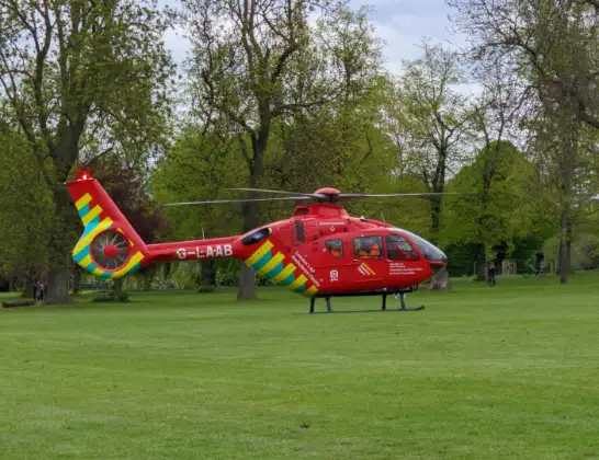
Helicopter: G-LAAB
The helicopter G-LAAB is used as a air ambulance helicopter. The main purpose of this aircraft is to transport a Mobile Medical Team to an incident as quickly as possible, enabling the trauma doctor to provide immediate first aid on site. The aircraft is flying this flight as Air Ambulance Helicopter.
Photo: Celsoazevedo
28 miles
2050 feet
72 mph
23 minutes
17:44
18:07

Route
RAF Northolt, London18:07
RAF Northolt, London18:06
RAF Northolt, London18:06
RAF Northolt, London18:05
RAF Northolt, London18:05
London Borough of Hillingdon, Greater London18:04
London Borough of Harrow, Greater London18:03
London Borough of Brent, Greater London18:01
London Borough of Barnet, Greater London17:59
London Borough of Haringey, Greater London17:56
Walthamstow, Greater London17:55
London Borough of Waltham Forest, Greater London17:55
London Borough of Redbridge, Greater London17:52
Orange Tree Hill, Greater London17:49
London Borough of Havering, Greater London17:44
Live flights
Today
Helicopter flights on your website?
You can easily display helicopter flights on your own website. Use the embed code.
