Police Helicopter to Weston-super-Mare, Wellsea Grove
Tuesday, 10 March 2026 | 9:55 | From Boverton
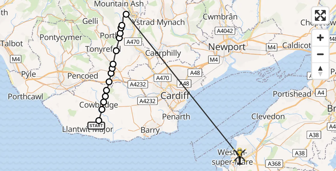
On Tuesday, 10 March 2026 at 9:55, a Police Helicopter departed from Boverton to Weston-super-Mare. It was the Police Helicopter with registration number G-NWOI. The flight lasted 12 minutes. During that period, the aircraft travelled 45 miles at an average speed of 234 miles per hour at a maximum altitude of 1625 feet.
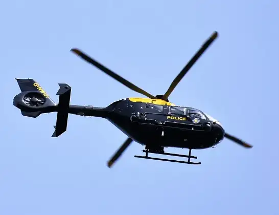
Helicopter: G-NWOI
The helicopter G-NWOI is used by the British police. The helicopter is deployed in pursuits, missing persons cases and other incidents where a helicopter provides added value.
Photo: Alec Wilson
45 miles
1625 feet
234 mph
12 minutes
09:55
10:07

Route
Wellsea Grove, Weston-super-Mare10:07
Abercynon, Abercynon10:02
Ynysybwl, Ynysybwl10:01
Pantygraigwen, Pontypridd10:01
Pontypridd, Pontypridd10:00
Hopkinstown, Hopkinstown10:00
Tonyrefail, Tonyrefail09:59
Llantrisant, Llantrisant09:59
Talbot Green, Talbot Green09:58
Pontyclun, Pontyclun09:58
Brynsadler, Brynsadler09:58
Ystradowen, Ystradowen09:57
Trerhingyll, Trerhingyll09:57
Aberthin, Aberthin09:56
Cowbridge, Cowbridge09:56
St Mary Church, St Mary Church09:55
Millands Park, Boverton09:55
Live flights
Today
Flights Weston-super-Mare
Air Ambulance Helicopter to Weston-super-Mare12 Jul 12:55
Flights Boverton
Police Helicopter to Boverton, Llanmaes10 Jul 19:54
Police Helicopter to Bonvilston, Boverton Road10 Jul 01:05
Police Helicopter to MOD St Athan9 Jul 22:18
Police Helicopter to Almondsbury Helicopter Base15 Jun 16:12
Police Helicopter to Coytrahen, Bridgend Road31 May 20:28
Police Helicopter to Bristol Channel31 May 13:03
Police Helicopter to MOD St Athan31 May 11:10
Helicopter flights on your website?
You can easily display helicopter flights on your own website. Use the embed code.
