Air Ambulance Aircraft to Aberdeen City, Pitmedden Road
Tuesday, 10 March 2026 | 3:38 | From North Atlantic Ocean
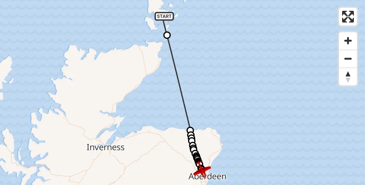
On Tuesday, 10 March 2026 at 3:38, a Air Ambulance Aircraft departed from North Atlantic Ocean to Aberdeen City. It was the Air Ambulance Aircraft with registration number G-SASC. The flight lasted 29 minutes. During that period, the aircraft travelled 122 miles at an average speed of 253 miles per hour at a maximum altitude of 13000 feet.
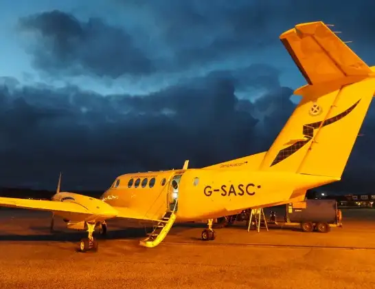
Helicopter: G-SASC
The aircraft G-SASC is used as an air ambulance aircraft. The main purpose of this aircraft is to transport a Mobile Medical Team to an incident as quickly as possible, enabling the trauma doctor to provide immediate first aid on site. The aircraft is flying this flight as Air Ambulance Aircraft.
Photo: Mike Pennington
123 miles
13000 feet
253 mph
30 minutes
03:38
04:07

Route
Pitmedden Road, Aberdeen City04:07
Aberdeen City, Aberdeen City04:07
Cothal, Cothal04:06
Keithhall, Keithhall04:05
Old Kendal, Old Kendal04:05
Keithhall, Keithhall04:04
Oldmeldrum, Oldmeldrum04:04
Kirkton of Bourtie, Kirkton of Bourtie04:04
Oldmeldrum, Oldmeldrum04:03
St Katherines, St Katherines04:03
Oldmeldrum, Oldmeldrum04:03
Tulloch, Tulloch04:03
Barthol Chapel, Barthol Chapel04:02
Fyvie, Fyvie04:01
Steinmanhill, Steinmanhill04:01
Birkenhills, Birkenhills04:01
Turriff, Turriff04:00
Fintry, Fintry03:59
Craigwall Cottages, Craigwall Cottages03:59
Macduff, Macduff03:58
North Sea03:43
North Atlantic Ocean, 03:38
Live flights
Today
Helicopter flights on your website?
You can easily display helicopter flights on your own website. Use the embed code.
