Police Helicopter to East Ardsley, Stoney Lane
Monday, 9 March 2026 | 15:47 | From East Ardsley
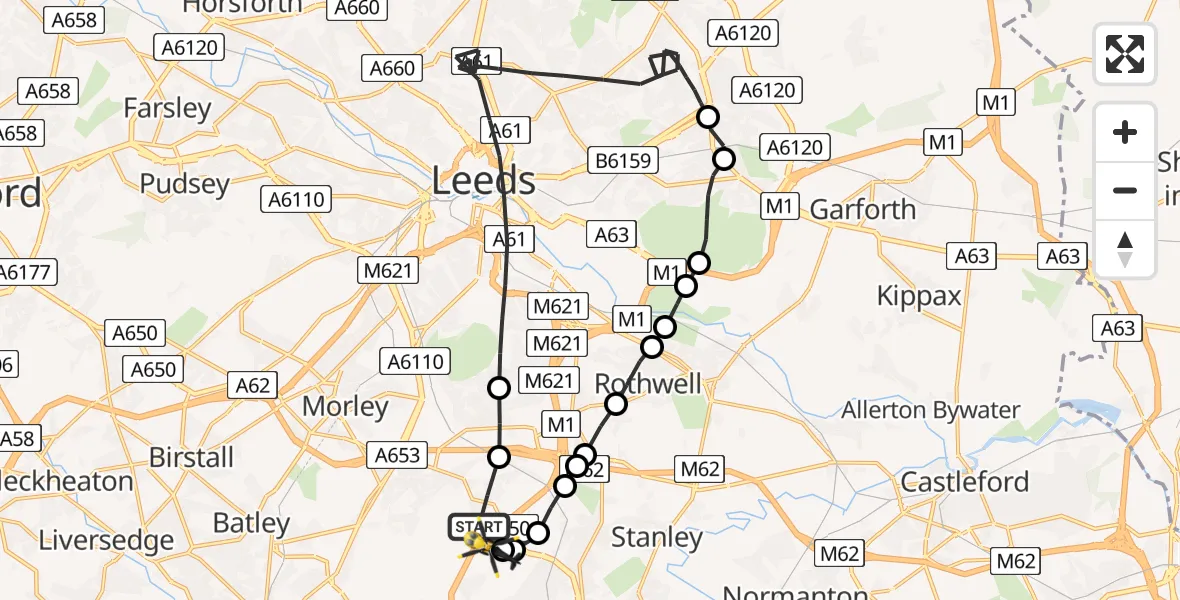
On Monday, 9 March 2026 at 15:47, a Police Helicopter departed from East Ardsley to East Ardsley. It was the Police Helicopter with registration number G-POLB. The flight lasted 15 minutes. During that period, the aircraft travelled 24 miles at an average speed of 95 miles per hour at a maximum altitude of 1300 feet.
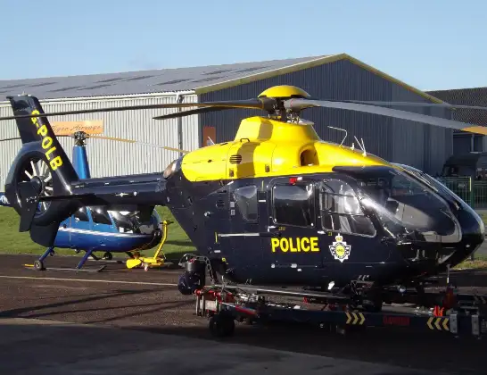
Helicopter: G-POLB
The helicopter G-POLB is used by the British police. The helicopter is deployed in pursuits, missing persons cases and other incidents where a helicopter provides added value.
Photo: James from Cheltenham, Gloucestershire
25 miles
1300 feet
95 mph
16 minutes
15:47
16:03

Route
Stoney Lane, Leeds16:03
East Ardsley, Leeds16:03
Wrenthorpe, Wakefield16:02
Newton Hill, Wakefield16:02
Lofthouse Gate, Wakefield16:01
Lofthouse, Leeds16:01
Lofthouse, Wakefield16:01
Carlton, Leeds16:00
Rothwell, Leeds16:00
Oulton, Leeds15:59
Rothwell, Leeds15:59
Swillington, Leeds15:59
Colton, Leeds15:57
Austhorpe, Leeds15:57
Leeds, Leeds15:49
Thorpe-on-the-Hill, Leeds15:48
Woodhouse Lane, Leeds15:47
Live flights
Today
Helicopter flights on your website?
You can easily display helicopter flights on your own website. Use the embed code.
