Air Ambulance Helicopter to Bannockburn, A872
Monday, 2 March 2026 | 16:16 | From Dalavich
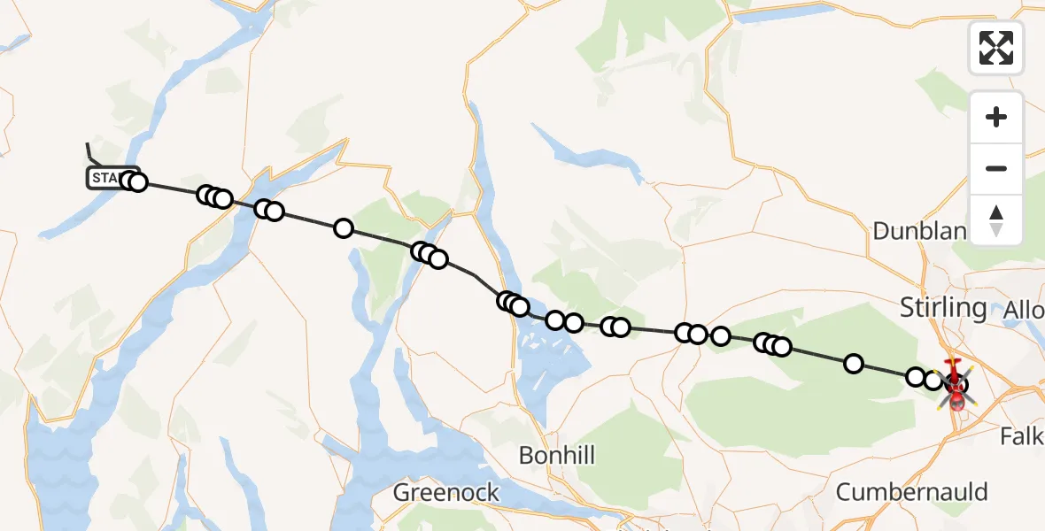
On Monday, 2 March 2026 at 16:16, a Air Ambulance Helicopter departed from Dalavich to Bannockburn. It was the Air Ambulance Helicopter with registration number G-ISAS. The flight lasted 26 minutes. During that period, the aircraft travelled 60 miles at an average speed of 140 miles per hour at a maximum altitude of 4200 feet.
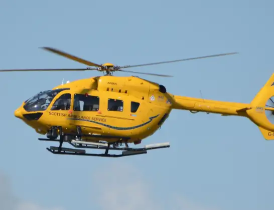
Helicopter: G-ISAS
The helicopter G-ISAS is used as a air ambulance helicopter. The main purpose of this aircraft is to transport a Mobile Medical Team to an incident as quickly as possible, enabling the trauma doctor to provide immediate first aid on site. The aircraft is flying this flight as Air Ambulance Helicopter.
Photo: Jonathan Payne
61 miles
4200 feet
140 mph
26 minutes
16:16
16:42

Route
A872, 16:42
Bannockburn16:39
Dunipace16:39
Bannockburn16:38
Bannockburn, Stirling16:38
Stirling16:36
Fintry16:35
Balafark16:34
Fintry16:34
Buchlyvie16:33
Balfron16:33
Ballat16:32
Drymen16:31
Milton of Buchanan16:31
Balmaha16:30
Cashell16:29
Loch Lomond16:28
Luss Seaplane Terminal16:28
Luss16:28
Invergroin16:26
Arrochar16:25
Ardgartan16:25
Lochgoilhead16:23
St Catherines16:21
Inner Seas16:21
Inveraray16:20
Achnagoul16:20
Inveraray16:20
Dalavich16:18
Eredine16:18
Dalavich16:17
16:16
Live flights
Today
Police Helicopter to RAF Benson20:51:51
Flights Bannockburn
Police Helicopter to Bannockburn, Roman Road15 Jan 10:02
Flights Dalavich
Helicopter flights on your website?
You can easily display helicopter flights on your own website. Use the embed code.
