Air Ambulance Helicopter to South Shields, Temple Park Road
Monday, 2 March 2026 | 10:06 | From Egglescliffe
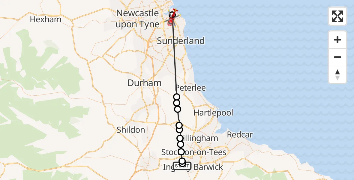
On Monday, 2 March 2026 at 10:06, a Air Ambulance Helicopter departed from Egglescliffe to South Shields. It was the Air Ambulance Helicopter with registration number G-NHAE. The flight lasted 12 minutes. During that period, the aircraft travelled 33 miles at an average speed of 170 miles per hour at a maximum altitude of 1600 feet.
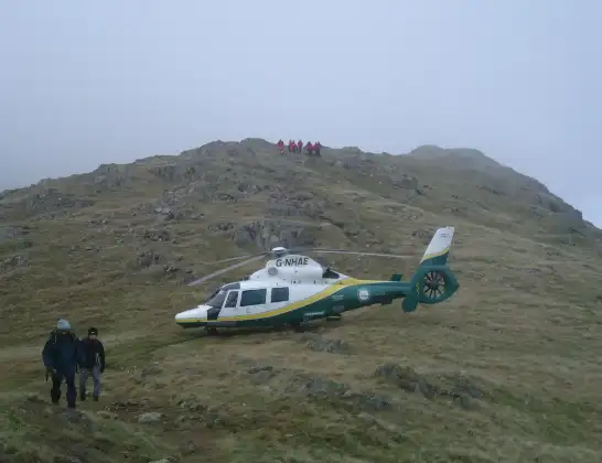
Helicopter: G-NHAE
The helicopter G-NHAE is used as a air ambulance helicopter. The main purpose of this aircraft is to transport a Mobile Medical Team to an incident as quickly as possible, enabling the trauma doctor to provide immediate first aid on site. The aircraft is flying this flight as Air Ambulance Helicopter.
Photo: Michael Earnshaw
33 miles
1600 feet
170 mph
12 minutes
10:06
10:17

Route
Temple Park Road, South Tyneside10:17
South Shields, South Tyneside10:16
Wheatley Hill, North East10:10
Trimdon Colliery, North East10:10
Wingate, North East10:10
Sedgefield, North East10:09
Wynyard, Tees Valley10:08
Thorpe Thewles, Tees Valley10:08
Carlton, Tees Valley10:07
Stockton-on-Tees, Tees Valley10:07
Elton, Tees Valley10:06
Eaglescliffe, Tees Valley10:06
Urlay Nook Road, Tees Valley10:06
Live flights
Police Helicopter on its way from Ewelme13 Jul 22:24
Today
Police Helicopter to Bournemouth Airport13 Jul 23:55
Air Ambulance Helicopter to Cardiff Heliport13 Jul 23:38
Police Helicopter to Birmingham Airport13 Jul 23:21
Police Helicopter to Irlam, Twelve Yards Road13 Jul 23:00
Flights Egglescliffe
Air Ambulance Helicopter to Egglescliffe, A6713 Jul 15:39
Air Ambulance Helicopter to Egglescliffe, A6713 Jul 13:57
Air Ambulance Helicopter to Egglescliffe10 Jul 15:36
Helicopter flights on your website?
You can easily display helicopter flights on your own website. Use the embed code.
