Air Ambulance Helicopter to Henstridge Airfield
Sunday, 1 March 2026 | 20:31 | From Blandford Forum
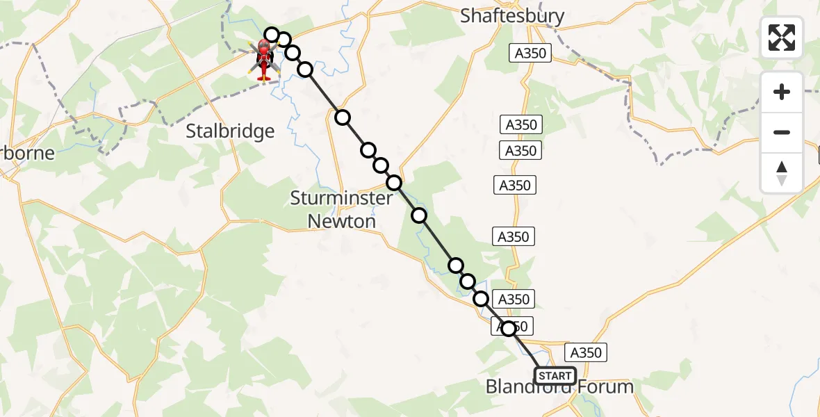
On Sunday, 1 March 2026 at 20:31, a Air Ambulance Helicopter departed from Blandford Forum to Henstridge Airfield. It was the Air Ambulance Helicopter with registration number G-DSAA. The flight lasted 10 minutes. During that period, the aircraft travelled 14 miles at an average speed of 80 miles per hour at a maximum altitude of 1200 feet.
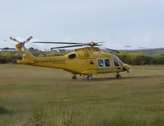
Helicopter: G-DSAA
The helicopter G-DSAA is used as a air ambulance helicopter. The main purpose of this aircraft is to transport a Mobile Medical Team to an incident as quickly as possible, enabling the trauma doctor to provide immediate first aid on site. The aircraft is flying this flight as Air Ambulance Helicopter.
Photo: Andrew Bone
14 miles
1200 feet
80 mph
11 minutes
20:31
20:41

Route
Henstridge Airfield, Templecombe, Somerset20:41
Henstridge Airfield, Templecombe, Somerset20:40
Henstridge Airfield, Templecombe, Somerset20:39
Henstridge Airfield, Templecombe, Somerset20:39
Henstridge20:38
Kington Magna20:37
Fifehead Magdalen20:37
West Stour20:37
Fifehead Magdalen20:36
Marnhull20:36
Sturminster Newton20:35
Manston20:35
West Orchard20:35
Manston20:34
Child Okeford20:33
Stourpaine20:33
Durweston20:33
Stourpaine20:32
Milldown Road, 20:31
Live flights
Today
Helicopter flights on your website?
You can easily display helicopter flights on your own website. Use the embed code.
