Air Ambulance Helicopter to City of Nottingham, University Boulevard
Sunday, 1 March 2026 | 15:28 | From Loughborough
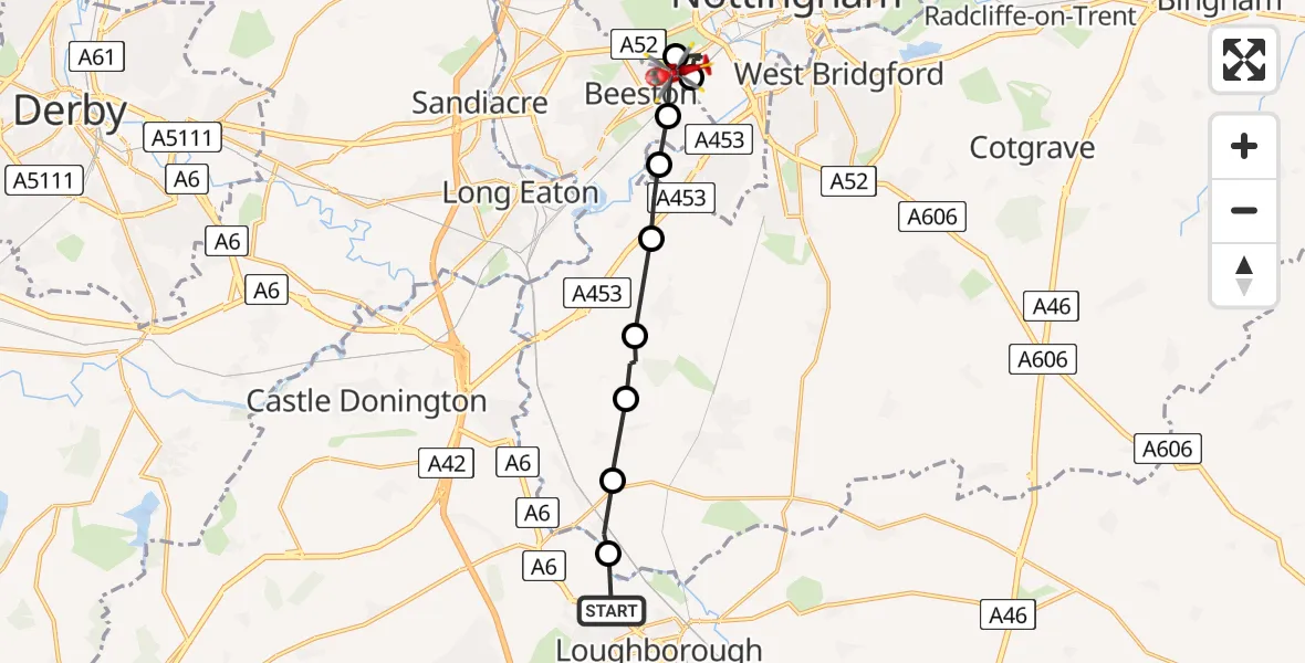
On Sunday, 1 March 2026 at 15:28, a Air Ambulance Helicopter departed from Loughborough to City of Nottingham. It was the Air Ambulance Helicopter with registration number G-DRLA. The flight lasted 5 minutes. During that period, the aircraft travelled 12 miles at an average speed of 155 miles per hour at a maximum altitude of 1025 feet.
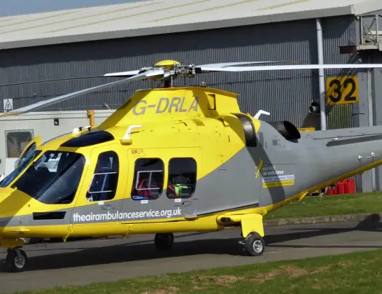
Helicopter: G-DRLA
The helicopter G-DRLA is used as an ambulance helicopter. The helicopter is equipped with a stretcher for transporting patients. The helicopter is often used to transport to hospitals.
Photo: Alec Wilson
12 miles
1025 feet
155 mph
5 minutes
15:28
15:33

Route
University Boulevard, East Midlands15:33
Beeston, City of Nottingham15:33
City of Nottingham, East Midlands15:32
Beeston, City of Nottingham15:31
City of Nottingham, East Midlands15:31
Barton-in-Fabis, Rushcliffe15:31
Gotham, Rushcliffe15:30
West Leake, Rushcliffe15:30
Sutton Bonington, Rushcliffe15:29
Normanton on Soar, Rushcliffe15:29
Derby Road, Charnwood15:28
Live flights
Today
Flights Loughborough
Air Ambulance Helicopter to Thulston, B50101 May 14:06
Air Ambulance Helicopter to Rushcliffe, A4626 Mar 17:21
Air Ambulance Helicopter to Nottingham Heliport23 Mar 12:07
Air Ambulance Helicopter to Loughborough, A4619 Mar 13:21
Helicopter flights on your website?
You can easily display helicopter flights on your own website. Use the embed code.
