Air Ambulance Helicopter to Derbyshire Dales, Upper Blindlow Lane
Sunday, 1 March 2026 | 13:34 | From Harpur Hill
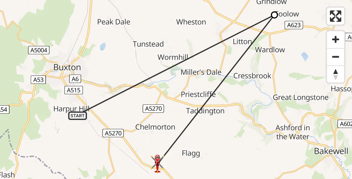
On Sunday, 1 March 2026 at 13:34, a Air Ambulance Helicopter departed from Harpur Hill to Derbyshire Dales. It was the Air Ambulance Helicopter with registration number G-DRLA. The flight lasted 1 minutes. During that period, the aircraft travelled 15 miles at an average speed of 677 miles per hour at a maximum altitude of 2025 feet.
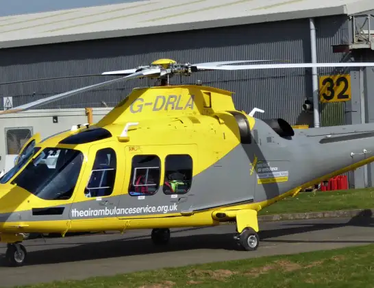
Helicopter: G-DRLA
The helicopter G-DRLA is used as an ambulance helicopter. The helicopter is equipped with a stretcher for transporting patients. The helicopter is often used to transport to hospitals.
Photo: Alec Wilson
16 miles
2025 feet
677 mph
2 minutes
13:34
13:35

Route
Upper Blindlow Lane, East Midlands13:35
Grindlow CP, Derbyshire Dales13:34
Haslin Road, High Peak13:34
Live flights
Today
Police Helicopter to MOD St Athan15 Jul 23:53
Police Helicopter to East Ardsley, Stoney Lane15 Jul 23:36
Helicopter flights on your website?
You can easily display helicopter flights on your own website. Use the embed code.
