Air Ambulance Helicopter to Hill Croome, M5
Sunday, 1 March 2026 | 13:10 | From Wick
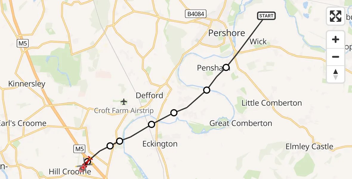
On Sunday, 1 March 2026 at 13:10, a Air Ambulance Helicopter departed from Wick to Hill Croome. It was the Air Ambulance Helicopter with registration number G-OMAA. The flight lasted 4 minutes. During that period, the aircraft travelled 6 miles at an average speed of 87 miles per hour at a maximum altitude of 1025 feet.
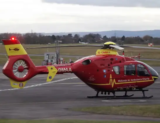
Helicopter: G-OMAA
The helicopter G-OMAA is used as a air ambulance helicopter. The main purpose of this aircraft is to transport a Mobile Medical Team to an incident as quickly as possible, enabling the trauma doctor to provide immediate first aid on site. The aircraft is flying this flight as Air Ambulance Helicopter.
Photo: James from Cheltenham, Gloucestershire
6 miles
1025 feet
87 mph
5 minutes
13:10
13:14

Route
Hill Croome, Malvern Hills13:14
M5, Malvern Hills13:14
Upper Strensham, Wychavon13:13
Defford, Wychavon13:13
Eckington, Wychavon13:13
Wychavon13:12
Pensham, Wychavon13:12
Pensham, Pershore13:11
Wick, Wychavon13:10
Live flights
Today
Flights Wick
Air Ambulance Helicopter to Wick, Bath Road20 Jun 16:43
Coastguard Helicopter to Wick, Beach Road13 Jun 09:36
Air Ambulance Helicopter to Wick, School Lane20 Apr 12:35
Coastguard Helicopter to Inverness Airport14 Apr 16:10
Coastguard Helicopter to Wick, Wellington Avenue14 Apr 15:31
Coastguard Helicopter to Wick, Wellington Avenue14 Apr 15:27
Coastguard Helicopter to Wick, Wellington Avenue14 Apr 14:57
Air Ambulance Helicopter to Henstridge Airfield19 Mar 09:33
Helicopter flights on your website?
You can easily display helicopter flights on your own website. Use the embed code.
