Air Ambulance Helicopter to The Craigs
Saturday, 28 February 2026 | 9:01 | From Inverness
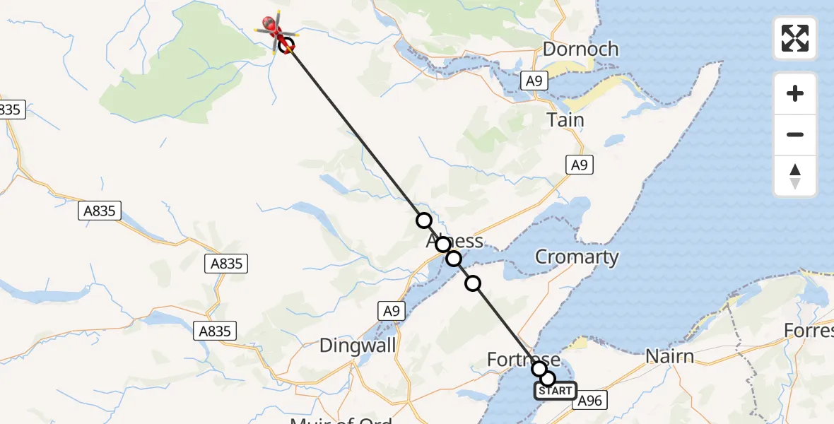
On Saturday, 28 February 2026 at 9:01, a Air Ambulance Helicopter departed from Inverness to The Craigs. It was the Air Ambulance Helicopter with registration number G-GSAS. The flight lasted 13 minutes. During that period, the aircraft travelled 30 miles at an average speed of 141 miles per hour at a maximum altitude of 2650 feet.
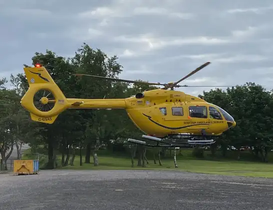
Helicopter: G-GSAS
The helicopter G-GSAS is used as a air ambulance helicopter. The main purpose of this aircraft is to transport a Mobile Medical Team to an incident as quickly as possible, enabling the trauma doctor to provide immediate first aid on site. The aircraft is flying this flight as Air Ambulance Helicopter.
Photo: Scanbus
30 miles
2650 feet
141 mph
13 minutes
09:01
09:14

Route
The Craigs, 09:14
Amatnatua09:13
Ardross09:07
Alness09:06
RAF Alness / RAF Invergordon, Alness, Ross and Cromarty09:06
Resolis09:05
Fortrose09:02
Rosemarkie, 09:01
Inverness09:01
Live flights
Today
Flights Inverness
Air Ambulance Helicopter to Inverness13 Jul 17:28
Coastguard Helicopter to Inverness Airport13 Jul 15:18
Coastguard Helicopter to Coire Sgreamhach12 Jul 17:55
Helicopter flights on your website?
You can easily display helicopter flights on your own website. Use the embed code.
