Air Ambulance Helicopter to Coventry Airport
Friday, 27 February 2026 | 15:42 | From Coventry Airport
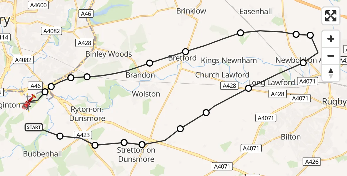
On Friday, 27 February 2026 at 15:42, a Air Ambulance Helicopter departed from Coventry Airport to Coventry Airport. It was the Air Ambulance Helicopter with registration number G-WNAS. The flight lasted 8 minutes. During that period, the aircraft travelled 19 miles at an average speed of 134 miles per hour at a maximum altitude of 1250 feet.
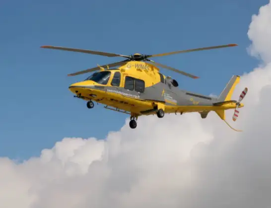
Helicopter: G-WNAS
The helicopter G-WNAS is used as an ambulance helicopter. The helicopter is equipped with a stretcher for transporting patients. The helicopter is often used to transport to hospitals.
Photo: Tony Melony
19 miles
1250 feet
134 mph
9 minutes
15:42
15:51

Route
Coventry Airport, Coventry, West Midlands15:51
Coventry Airport, Coventry, West Midlands15:50
Rugby, West Midlands15:50
Rugby15:50
Rugby, West Midlands15:49
Brandon, Rugby15:48
Bretford, Rugby15:48
King's Newnham CP, Rugby15:47
Harborough Magna CP, Rugby15:46
Rugby15:46
Newbold on Avon, Rugby15:46
Long Lawford, Rugby15:45
Church Lawford CP, Rugby15:44
Wolston CP, Rugby15:44
Stretton on Dunsmore CP, Rugby15:43
Rugby15:43
Ryton-on-Dunsmore, Rugby15:43
Rugby15:43
Baginton, Warwick15:42
Live flights
Today
Helicopter flights on your website?
You can easily display helicopter flights on your own website. Use the embed code.
