Air Ambulance Helicopter to North Weald Airfield
Friday, 27 February 2026 | 13:11 | From North Weald Airfield
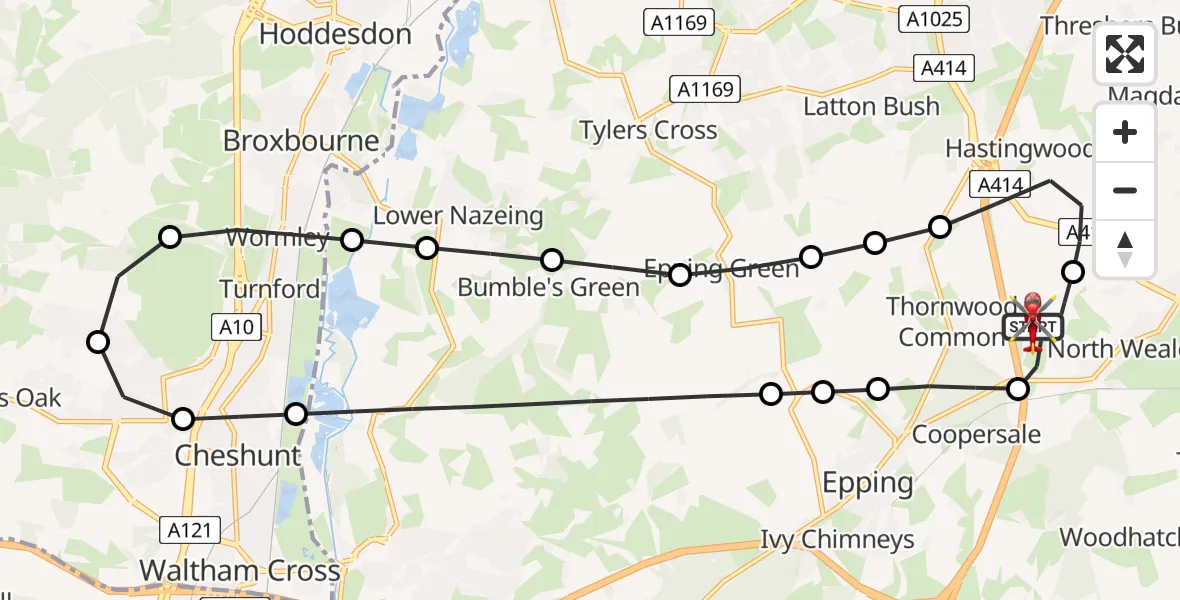
On Friday, 27 February 2026 at 13:11, a Air Ambulance Helicopter departed from North Weald Airfield to North Weald Airfield. It was the Air Ambulance Helicopter with registration number G-HHEM. The flight lasted 17 minutes. During that period, the aircraft travelled 22 miles at an average speed of 80 miles per hour at a maximum altitude of 1350 feet.
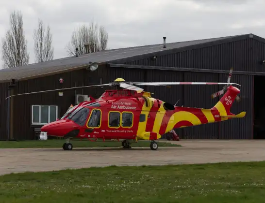
Helicopter: G-HHEM
The helicopter G-HHEM is used as a air ambulance helicopter. The main purpose of this aircraft is to transport a Mobile Medical Team to an incident as quickly as possible, enabling the trauma doctor to provide immediate first aid on site. The aircraft is flying this flight as Air Ambulance Helicopter.
Photo: Ronnie Macdonald
23 miles
1350 feet
80 mph
17 minutes
13:11
13:27

Route
North Weald Airfield, Epping, Essex13:27
North Weald Airfield, Epping, Essex13:27
North Weald Airfield, Epping, Essex13:25
North Weald Airfield, Epping, Essex13:23
North Weald Bassett, Epping Forest13:22
Thornwood Common, Epping Forest13:22
Epping Forest, Essex13:22
Epping Green, Epping Forest13:21
Bumble's Green, Epping Forest13:21
Lower Nazeing, Epping Forest13:20
Epping Forest, Essex13:20
Wormley, Broxbourne13:19
Cheshunt13:19
Churchgate, Broxbourne13:18
Cheshunt13:18
Epping Forest, Essex13:16
Epping, Epping Forest13:15
Thornwood Common, Epping13:15
North Weald Bassett, Epping Forest13:14
North Weald Airfield, Epping, Essex13:13
North Weald Airfield, Epping, Essex13:11
Today
Helicopter flights on your website?
You can easily display helicopter flights on your own website. Use the embed code.
