Air Ambulance Helicopter to Northampton, Walter Tull Way
Thursday, 26 February 2026 | 15:08 | From Coventry Airport
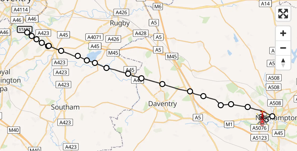
On Thursday, 26 February 2026 at 15:08, a Air Ambulance Helicopter departed from Coventry Airport to Northampton. It was the Air Ambulance Helicopter with registration number G-WNAS. The flight lasted 14 minutes. During that period, the aircraft travelled 31 miles at an average speed of 137 miles per hour at a maximum altitude of 1300 feet.
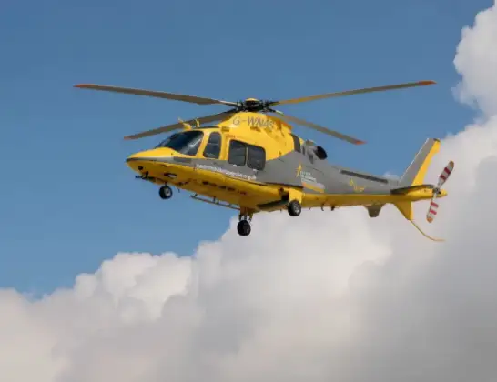
Helicopter: G-WNAS
The helicopter G-WNAS is used as an ambulance helicopter. The helicopter is equipped with a stretcher for transporting patients. The helicopter is often used to transport to hospitals.
Photo: Tony Melony
31 miles
1300 feet
137 mph
14 minutes
15:08
15:22

Route
Walter Tull Way, 15:22
Northampton15:18
Duston15:17
Harpole15:16
Flore15:16
Little Brington15:15
Long Buckby Wharf15:15
Daventry15:14
Braunston15:13
Willoughby CP, Rugby15:13
Grandborough CP, Rugby15:12
Thurlaston CP, Rugby15:11
Draycote Water15:11
Bourton on Dunsmore, Rugby15:11
Frankton CP, Rugby15:10
Princethorpe CP, Rugby15:10
Stretton on Dunsmore CP, Rugby15:10
Wappenbury, Warwick15:09
Rugby15:09
Bubbenhall, Warwick15:09
Baginton, Warwick15:09
Coventry Airport, Coventry, West Midlands15:08
Live flights
Today
Flights Northampton
Air Ambulance Helicopter to Coventry Airport7 Jul 19:58
Air Ambulance Helicopter to Sywell Aerodrome3 Jul 07:57
Helicopter flights on your website?
You can easily display helicopter flights on your own website. Use the embed code.
