Air Ambulance Helicopter to Anna Valley, Redbridge Drive
Wednesday, 25 February 2026 | 21:23 | From Thruxton Aerodrome
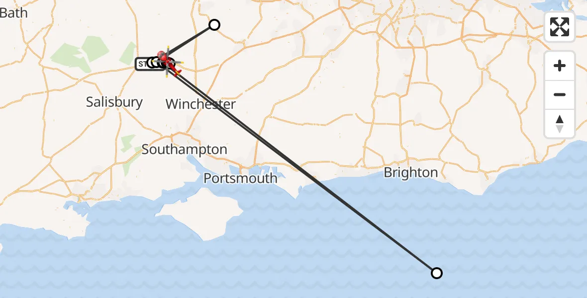
On Wednesday, 25 February 2026 at 21:23, a Air Ambulance Helicopter departed from Thruxton Aerodrome to Anna Valley. It was the Air Ambulance Helicopter with registration number G-HIOW. The flight lasted 5 minutes. During that period, the aircraft travelled 206 miles at an average speed of 2427 miles per hour at a maximum altitude of 1450 feet.
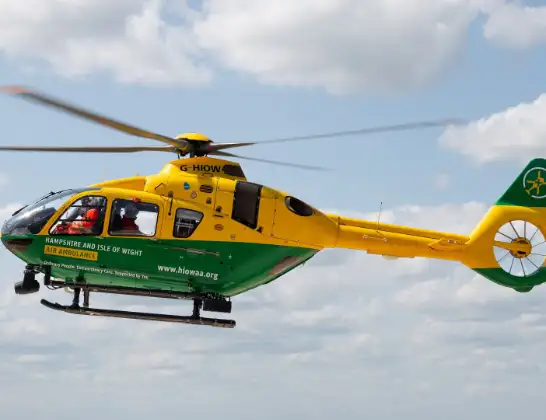
Helicopter: G-HIOW
The helicopter G-HIOW is used as a air ambulance helicopter. The main purpose of this aircraft is to transport a Mobile Medical Team to an incident as quickly as possible, enabling the trauma doctor to provide immediate first aid on site. The aircraft is flying this flight as Air Ambulance Helicopter.
Photo: JF2608
207 miles
1450 feet
2427 mph
6 minutes
21:23
21:28

Route
Redbridge Drive, Andover21:28
Anna Valley, Andover21:25
Andover, Test Valley21:25
Anna Valley, Andover21:25
Andover, Test Valley21:25
Anna Valley, Andover21:24
Weyhill, Andover21:24
English Channel21:24
Monxton, Test Valley21:24
Kingsclere, Basingstoke and Deane21:23
Thruxton, Test Valley21:23
Thruxton, Test Valley21:23
Today
Helicopter flights on your website?
You can easily display helicopter flights on your own website. Use the embed code.
