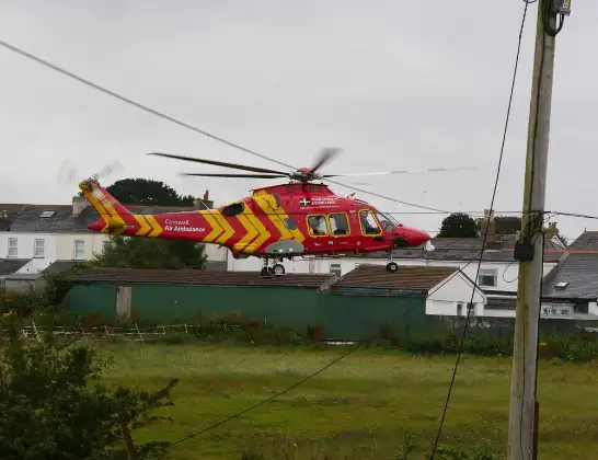
Air Ambulance Helicopter to Maenporth, Maenporth Road
Wednesday, 25 February 2026 | 7:20 | From Cornwall Airport Newquay
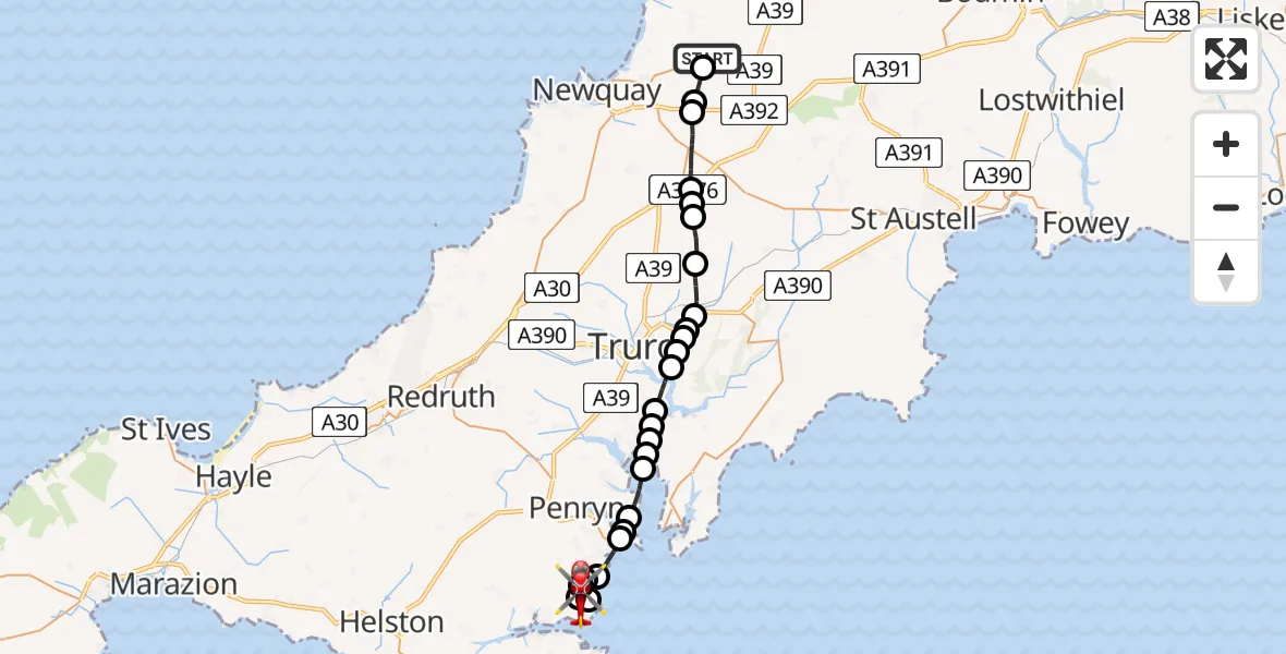
On Wednesday, 25 February 2026 at 7:20, a Air Ambulance Helicopter departed from Cornwall Airport Newquay to Maenporth. It was the Air Ambulance Helicopter with registration number G-CRWL. The flight lasted 17 minutes. During that period, the aircraft travelled 25 miles at an average speed of 92 miles per hour at a maximum altitude of 925 feet.
Helicopter: G-CRWL
The helicopter G-CRWL is used as a air ambulance helicopter. The main purpose of this aircraft is to transport a Mobile Medical Team to an incident as quickly as possible, enabling the trauma doctor to provide immediate first aid on site. The aircraft is flying this flight as Air Ambulance Helicopter.
Photo: Pete Cruse
26 miles
925 feet
92 mph
17 minutes
07:20
07:37

Route
Maenporth07:37
Maenporth Road, 07:36
Maenporth07:34
Falmouth07:34
Maenporth07:33
Mawnan Smith07:33
Maenporth07:32
Falmouth07:31
Inner Harbour07:31
Flushing07:31
Mylor Churchtown07:30
Feock07:30
River Fal07:29
Feock07:29
River Fal07:29
Malpas07:28
St. Michael Penkevil07:28
St. Clement07:27
St. Michael Penkevil07:27
Tresillian07:27
Probus07:26
Ladock07:25
St. Newlyn East07:25
St. Enoder07:24
St. Newlyn East07:23
Colan07:23
St. Columb Major07:22
Cornwall Airport Newquay, Newquay07:20
Cornwall Airport Newquay, Newquay07:20
Live flights
Today
Police Helicopter to Epping Forest, Green Lane26 Feb 23:43
Flights Maenporth
Helicopter flights on your website?
You can easily display helicopter flights on your own website. Use the embed code.
