Air Ambulance Helicopter to Amesbury, Harvard Way
Tuesday, 24 February 2026 | 18:06 | From Henstridge Airfield
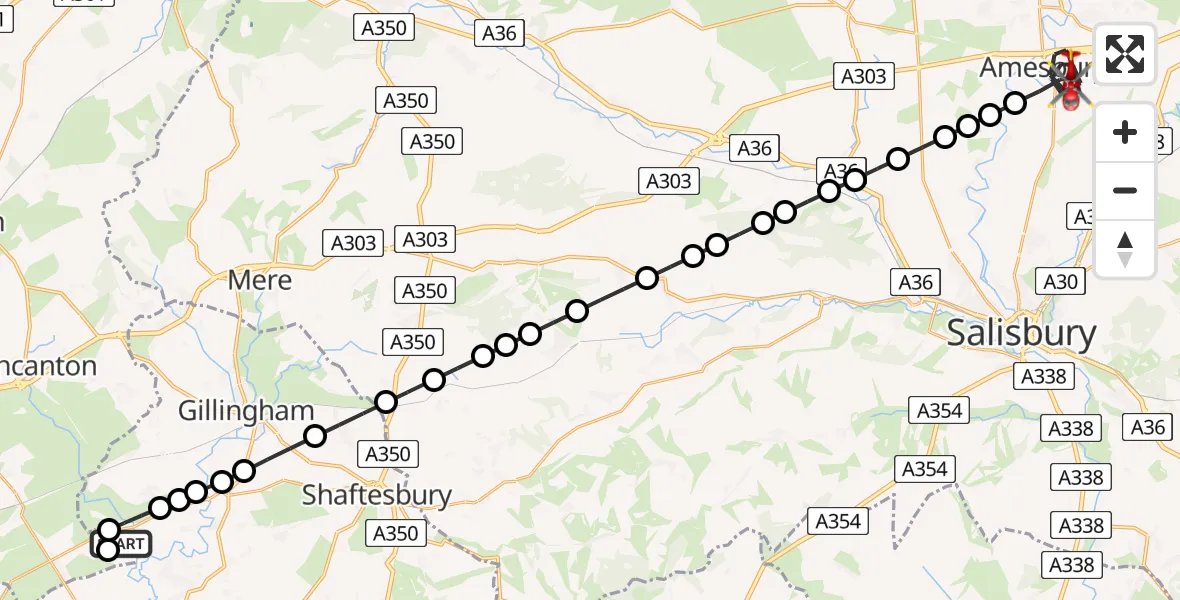
On Tuesday, 24 February 2026 at 18:06, a Air Ambulance Helicopter departed from Henstridge Airfield to Amesbury. It was the Air Ambulance Helicopter with registration number G-DSAA. The flight lasted 22 minutes. During that period, the aircraft travelled 35 miles at an average speed of 97 miles per hour at a maximum altitude of 1400 feet.
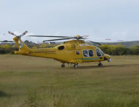
Helicopter: G-DSAA
The helicopter G-DSAA is used as a air ambulance helicopter. The main purpose of this aircraft is to transport a Mobile Medical Team to an incident as quickly as possible, enabling the trauma doctor to provide immediate first aid on site. The aircraft is flying this flight as Air Ambulance Helicopter.
Photo: Andrew Bone
36 miles
1400 feet
97 mph
23 minutes
18:06
18:28

Route
Harvard Way, 18:28
Amesbury18:23
Great Durnford18:23
Wilsford cum Lake18:23
Upper Woodford18:22
Stapleford18:22
Great Wishford18:21
Stapleford18:21
Steeple Langford18:21
Barford St. Martin18:20
Dinton18:20
Wylye18:20
Teffont Magna18:19
Chilmark18:18
Tisbury18:18
Fonthill Gifford18:18
West Tisbury18:17
Semley18:17
Sedgehill18:16
Motcombe18:16
Gillingham18:15
East Stour18:15
West Stour18:14
Kington Magna18:14
Fifehead Magdalen18:14
Kington Magna18:13
Henstridge18:13
Henstridge Airfield, Templecombe, Somerset18:12
Henstridge Airfield, Templecombe, Somerset18:06
Today
Police Helicopter to Epping Forest, Green Lane26 Feb 23:43
Flights Amesbury
Helicopter flights on your website?
You can easily display helicopter flights on your own website. Use the embed code.
