Police Helicopter to Whaley Bridge, Manchester Road
Tuesday, 24 February 2026 | 17:43 | From Worsley
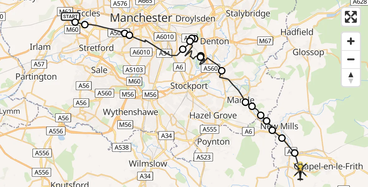
On Tuesday, 24 February 2026 at 17:43, a Police Helicopter departed from Worsley to Whaley Bridge. It was the Police Helicopter with registration number G-POLC. The flight lasted 22 minutes. During that period, the aircraft travelled 31 miles at an average speed of 84 miles per hour at a maximum altitude of 1600 feet.
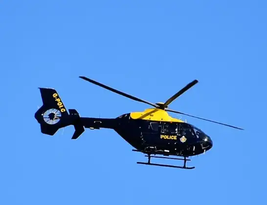
Helicopter: G-POLC
The helicopter G-POLC is used by the British police. The helicopter is deployed in pursuits, missing persons cases and other incidents where a helicopter provides added value.
Photo: Alec Wilson
31 miles
1600 feet
84 mph
22 minutes
17:43
18:05

Route
Manchester Road, High Peak18:05
Buxworth, High Peak18:03
Buxworth, Whaley Bridge18:03
Disley18:02
Hague Bar, New Mills18:02
Marple, Greater Manchester18:02
Mellor, Stockport18:01
Hawk Green, Stockport18:01
Marple, Greater Manchester18:00
Stockport, Greater Manchester17:54
Denton, Tameside17:54
Stockport, Greater Manchester17:49
Manchester, Greater Manchester17:48
Denton, Manchester17:48
Stockport, Greater Manchester17:47
Manchester, Greater Manchester17:45
Trafford, Greater Manchester17:45
Stretford, Trafford17:44
Eccles, Salford17:43
Finstock Close, Salford17:43
Today
Police Helicopter to Epping Forest, Green Lane26 Feb 23:43
Flights Worsley
Police Helicopter to Worsley, Robinia Close25 Feb 10:10
Police Helicopter to Worsley, Twelve Yards Road25 Feb 10:01
Police Helicopter to Worsley, Twelve Yards Road25 Feb 09:32
Police Helicopter to Worsley, Twelve Yards Road25 Feb 00:46
Police Helicopter to Worsley, Robinia Close24 Feb 18:38
Helicopter flights on your website?
You can easily display helicopter flights on your own website. Use the embed code.
