Air Ambulance Helicopter to Blofield, Pound Lane
Tuesday, 24 February 2026 | 11:48 | From Norwich Airport
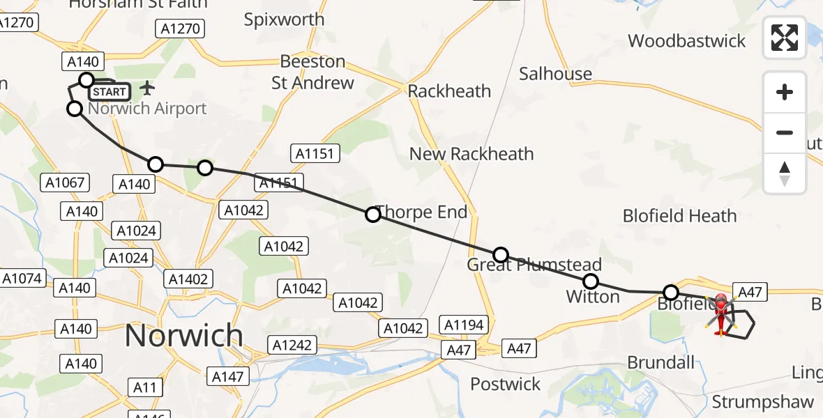
On Tuesday, 24 February 2026 at 11:48, a Air Ambulance Helicopter departed from Norwich Airport to Blofield. It was the Air Ambulance Helicopter with registration number G-HEMC. The flight lasted 26 minutes. During that period, the aircraft travelled 11 miles at an average speed of 27 miles per hour at a maximum altitude of 1150 feet.
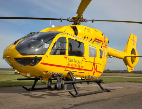
Helicopter: G-HEMC
The helicopter G-HEMC is used as a air ambulance helicopter. The main purpose of this aircraft is to transport a Mobile Medical Team to an incident as quickly as possible, enabling the trauma doctor to provide immediate first aid on site. The aircraft is flying this flight as Air Ambulance Helicopter.
Photo: Jsmauger
12 miles
1150 feet
27 mph
26 minutes
11:48
12:14

Route
Blofield, Broadland12:14
Pound Lane, Broadland12:13
Pound Lane, Broadland12:12
Blofield, Broadland12:10
Witton, Broadland12:09
Great Plumstead, Broadland12:09
Thorpe End, Broadland12:08
Broadland12:07
Norwich12:07
Broadland12:06
Horsford, Broadland12:06
Norwich Airport, Norwich, Norfolk12:04
Norwich Airport, Norwich, Norfolk11:48
Live flights
Today
Flights Blofield
Air Ambulance Helicopter to Blofield, Pound Lane24 Feb 11:48
Helicopter flights on your website?
You can easily display helicopter flights on your own website. Use the embed code.
