Air Ambulance Helicopter to Loughborough, Hanford Way
Monday, 23 February 2026 | 16:55 | From Willoughby on the Wolds
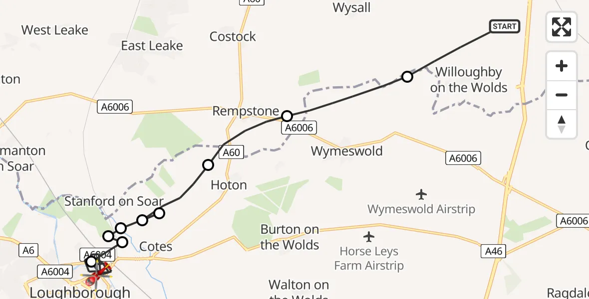
On Monday, 23 February 2026 at 16:55, a Air Ambulance Helicopter departed from Willoughby on the Wolds to Loughborough. It was the Air Ambulance Helicopter with registration number G-DRLA. The flight lasted 9 minutes. During that period, the aircraft travelled 11 miles at an average speed of 76 miles per hour at a maximum altitude of 775 feet.
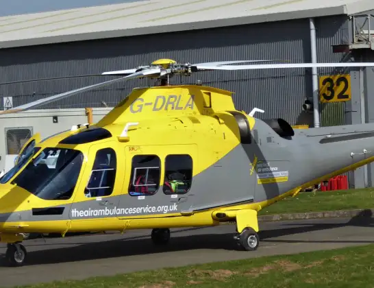
Helicopter: G-DRLA
The helicopter G-DRLA is used as an ambulance helicopter. The helicopter is equipped with a stretcher for transporting patients. The helicopter is often used to transport to hospitals.
Photo: Alec Wilson
12 miles
775 feet
76 mph
9 minutes
16:55
17:03

Route
Hanford Way, Charnwood17:03
Loughborough, Charnwood17:00
Cotes, Charnwood17:00
Loughborough, Charnwood16:59
Cotes, Charnwood16:59
Charnwood16:59
Cotes, Charnwood16:59
Hoton, Charnwood16:58
Rempstone, Rushcliffe16:57
Wymeswold, Charnwood16:55
Mill Lane, Rushcliffe16:55
Today
Police Helicopter to Epping Forest, Green Lane26 Feb 23:43
Flights Loughborough
Helicopter flights on your website?
You can easily display helicopter flights on your own website. Use the embed code.
