Air Ambulance Helicopter to Ashford, Woodthorpe Road
Monday, 23 February 2026 | 13:08 | From Kings College London Hospital
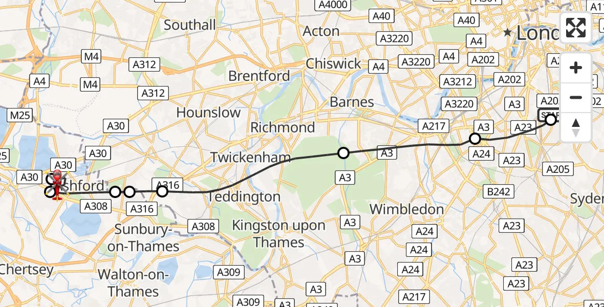
On Monday, 23 February 2026 at 13:08, a Air Ambulance Helicopter departed from Kings College London Hospital to Ashford. It was the Air Ambulance Helicopter with registration number G-KSSC. The flight lasted 17 minutes. During that period, the aircraft travelled 19 miles at an average speed of 67 miles per hour at a maximum altitude of 950 feet.
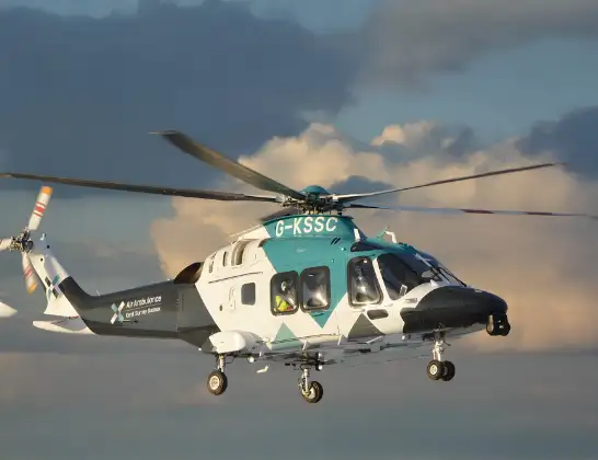
Helicopter: G-KSSC
The helicopter G-KSSC is used as a air ambulance helicopter. The main purpose of this aircraft is to transport a Mobile Medical Team to an incident as quickly as possible, enabling the trauma doctor to provide immediate first aid on site. The aircraft is flying this flight as Air Ambulance Helicopter.
Photo: Shona aakss
19 miles
950 feet
67 mph
18 minutes
13:08
13:25

Route
Woodthorpe Road, Spelthorne13:25
Woodthorpe Road, Spelthorne13:25
Ashford, Spelthorne13:23
Staines-upon-Thames, Spelthorne13:23
Ashford, Spelthorne13:22
Kempton Park, Spelthorne13:22
London Borough of Hounslow, Greater London13:21
London Borough of Richmond upon Thames, Greater London13:18
London Borough of Wandsworth, Greater London13:16
London Borough of Lambeth, Greater London13:15
Kings College London Hospital, London13:14
Kings College London Hospital, London13:08
Today
Flights Ashford
Air Ambulance Helicopter to Redhill Aerodrome14 Jul 23:46
Coastguard Helicopter to Manston Airport12 Jul 14:58
Coastguard Helicopter to Ashford, Watery Lane12 Jul 14:36
Helicopter flights on your website?
You can easily display helicopter flights on your own website. Use the embed code.
