Air Ambulance Helicopter to Leicester, Groby Road
Monday, 23 February 2026 | 12:34 | From London Oxford Airport
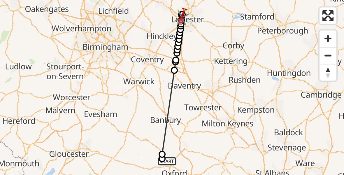
On Monday, 23 February 2026 at 12:34, a Air Ambulance Helicopter departed from London Oxford Airport to Leicester. It was the Air Ambulance Helicopter with registration number G-NICU. The flight lasted 25 minutes. During that period, the aircraft travelled 61 miles at an average speed of 149 miles per hour at a maximum altitude of 1725 feet.
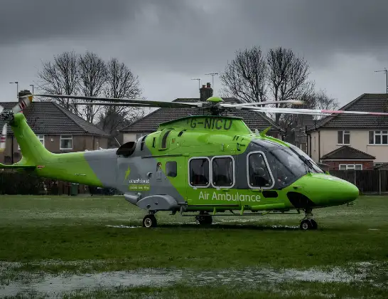
Helicopter: G-NICU
The helicopter G-NICU is used as an ambulance helicopter. The helicopter is equipped with a stretcher for transporting patients. The helicopter is often used to transport to hospitals.
Photo: Tony Melony
61 miles
1725 feet
149 mph
25 minutes
12:34
12:58

Route
Groby Road, 12:58
Leicester12:57
Anstey, Charnwood12:56
Glenfield12:56
Leicester12:55
Braunstone Town12:55
Enderby12:55
Littlethorpe12:54
Narborough12:54
Cosby12:53
Broughton Astley, Harborough12:53
Leire, Harborough12:52
Ashby Parva, Harborough12:52
Bitteswell, Harborough12:51
Lutterworth, Harborough12:51
Churchover CP, Rugby12:50
Newton, Rugby12:49
Rugby12:48
Wootton, West Oxfordshire12:35
West Oxfordshire12:35
Woodstock Road, Cherwell12:34
Live flights
Police Helicopter on its way from Dundrod12 Jul 22:50
Today
Police Helicopter to East Ardsley, Stoney Lane12 Jul 23:51
Police Helicopter to Birmingham Airport12 Jul 23:46
Police Helicopter to Parkham Ash12 Jul 23:41
Air Ambulance Helicopter to Newlands of Culloden12 Jul 23:24
Flights Leicester
Air Ambulance Helicopter to Nottingham Heliport27 Mar 18:55
Air Ambulance Helicopter to Nottingham Heliport27 Mar 15:33
Air Ambulance Helicopter to Nottingham Heliport24 Mar 18:35
Helicopter flights on your website?
You can easily display helicopter flights on your own website. Use the embed code.
