Air Ambulance Helicopter to Wiltshire Air Ambulance
Monday, 23 February 2026 | 12:13 | From Westbury
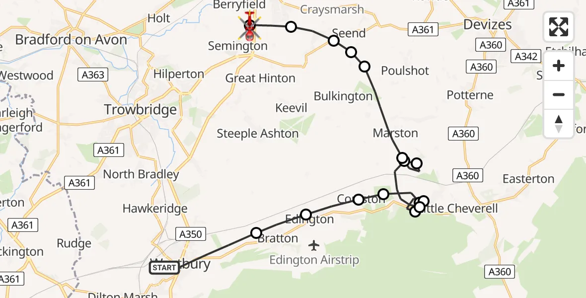
On Monday, 23 February 2026 at 12:13, a Air Ambulance Helicopter departed from Westbury to Wiltshire Air Ambulance. It was the Air Ambulance Helicopter with registration number G-WLTS. The flight lasted 11 minutes. During that period, the aircraft travelled 18 miles at an average speed of 93 miles per hour at a maximum altitude of 1225 feet.
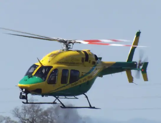
Helicopter: G-WLTS
The helicopter G-WLTS is used as a air ambulance helicopter. The main purpose of this aircraft is to transport a Mobile Medical Team to an incident as quickly as possible, enabling the trauma doctor to provide immediate first aid on site. The aircraft is flying this flight as Air Ambulance Helicopter.
Photo: James
18 miles
1225 feet
93 mph
12 minutes
12:13
12:25

Route
Wiltshire Air Ambulance12:25
Wiltshire Air Ambulance, 12:24
Melksham12:22
Seend Cleeve12:22
Seend12:22
Poulshot12:21
Marston12:20
Great Cheverell12:19
Marston12:19
Erlestoke12:18
Great Cheverell12:18
Erlestoke12:17
Great Cheverell12:17
Erlestoke12:16
Coulston12:16
Edington12:15
Bratton12:15
Queens Road, 12:13
Today
Flights Westbury
Police Helicopter to Bournemouth Airport5 Jul 17:33
Air Ambulance Helicopter to RAF Benson23 Apr 13:37
Air Ambulance Helicopter to Westbury8 Apr 19:19
Helicopter flights on your website?
You can easily display helicopter flights on your own website. Use the embed code.
