Air Ambulance Helicopter to Codford, New Road
Monday, 23 February 2026 | 9:32 | From Wiltshire Air Ambulance
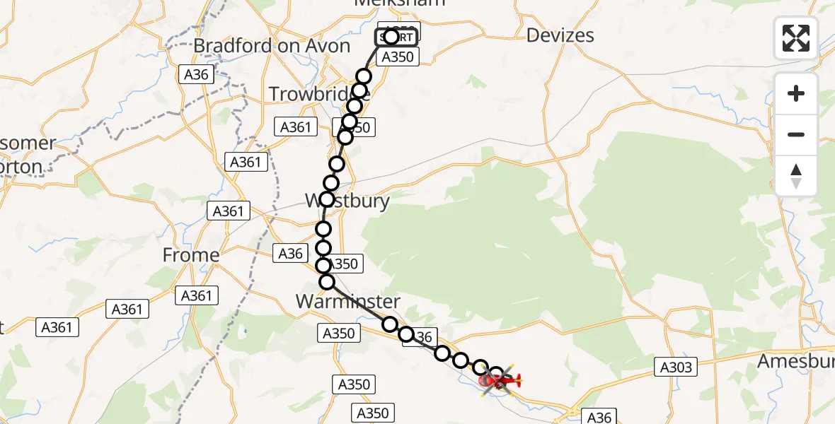
On Monday, 23 February 2026 at 9:32, a Air Ambulance Helicopter departed from Wiltshire Air Ambulance to Codford. It was the Air Ambulance Helicopter with registration number G-WLTS. The flight lasted 9 minutes. During that period, the aircraft travelled 20 miles at an average speed of 129 miles per hour at a maximum altitude of 1550 feet.
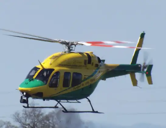
Helicopter: G-WLTS
The helicopter G-WLTS is used as a air ambulance helicopter. The main purpose of this aircraft is to transport a Mobile Medical Team to an incident as quickly as possible, enabling the trauma doctor to provide immediate first aid on site. The aircraft is flying this flight as Air Ambulance Helicopter.
Photo: James
21 miles
1550 feet
129 mph
10 minutes
09:32
09:42

Route
New Road, 09:42
Codford09:39
Upton Lovell09:39
Knook09:39
Heytesbury09:39
Norton Bavant09:38
Bishopstrow09:38
Warminster09:37
Upton Scudamore09:37
Biss Brook Farm Airstrip, Westbury, Wiltshire09:36
Dilton Marsh09:36
Westbury09:36
Hawkeridge09:35
Heywood09:35
Yarnbrook09:35
West Ashton09:34
Trowbridge09:34
Steeple Ashton09:34
Hilperton09:34
Semington09:33
Commerce Way, 09:32
Live flights
Today
Police Helicopter to Epping Forest, Green Lane26 Feb 23:43
Flights Codford
Air Ambulance Helicopter to Codford, New Road23 Feb 09:32
Helicopter flights on your website?
You can easily display helicopter flights on your own website. Use the embed code.
