Police Helicopter to St Athan, Castleton Road
Monday, 23 February 2026 | 8:21 | From St Mary Church
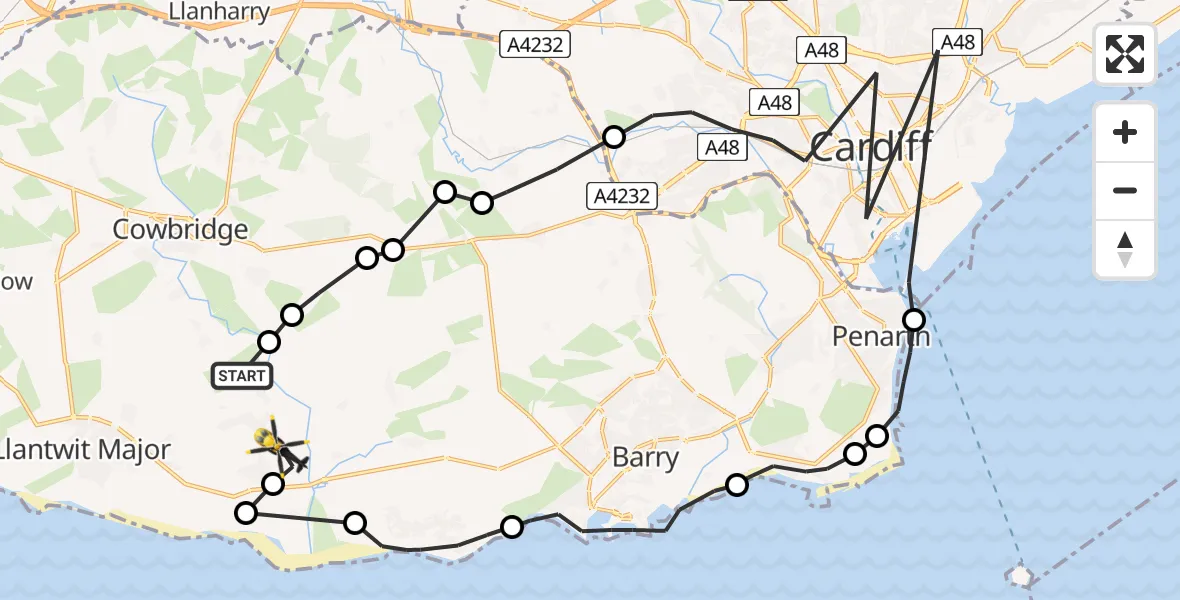
On Monday, 23 February 2026 at 8:21, a Police Helicopter departed from St Mary Church to St Athan. It was the Police Helicopter with registration number G-NWOI. The flight lasted 12 minutes. During that period, the aircraft travelled 38 miles at an average speed of 189 miles per hour at a maximum altitude of 775 feet.
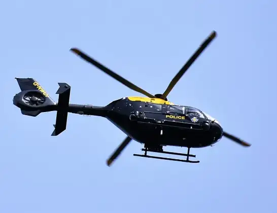
Helicopter: G-NWOI
The helicopter G-NWOI is used by the British police. The helicopter is deployed in pursuits, missing persons cases and other incidents where a helicopter provides added value.
Photo: Alec Wilson
39 miles
775 feet
189 mph
13 minutes
08:21
08:33

Route
Castleton Road, 08:33
St Athan08:33
Gileston08:33
East Aberthaw08:33
Rhoose08:31
Barry08:29
Sully08:28
Sully and Lavernock08:27
Penarth08:26
Cardiff08:24
St Nicholas08:23
Pendoylan08:23
Bonvilston08:23
Llancarfan08:22
St Hilary08:22
Llancarfan08:22
St Mary Church, 08:21
Live flights
Today
Police Helicopter to Epping Forest, Green Lane26 Feb 23:43
Helicopter flights on your website?
You can easily display helicopter flights on your own website. Use the embed code.
