Air Ambulance Helicopter to Henstridge Airfield, Henstridge Airfield
Sunday, 22 February 2026 | 16:43 | From Huish Episcopi
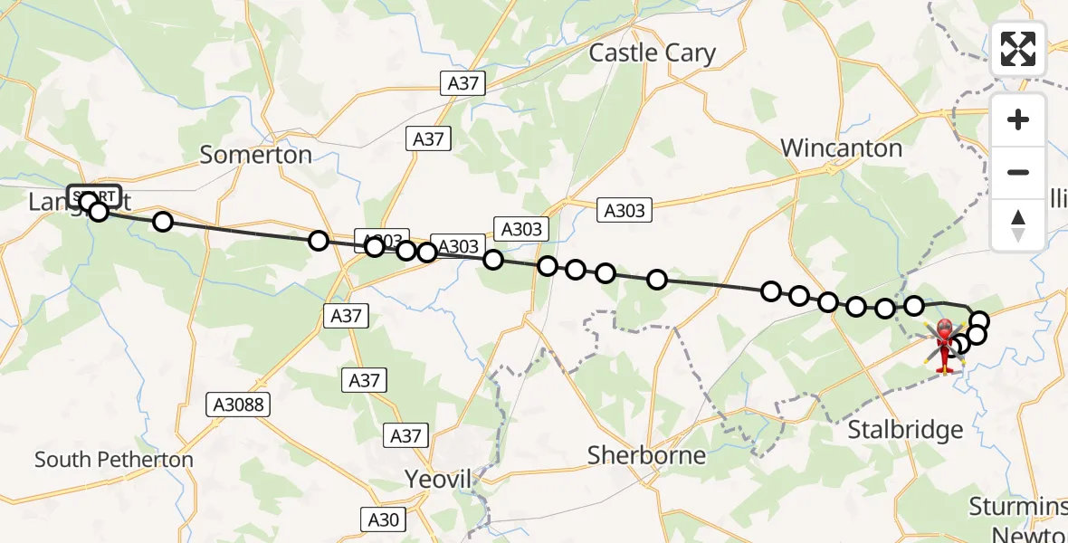
On Sunday, 22 February 2026 at 16:43, a Air Ambulance Helicopter departed from Huish Episcopi to Henstridge Airfield. It was the Air Ambulance Helicopter with registration number G-DSAA. The flight lasted 12 minutes. During that period, the aircraft travelled 23 miles at an average speed of 114 miles per hour at a maximum altitude of 1300 feet.
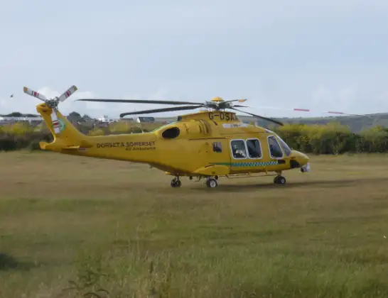
Helicopter: G-DSAA
The helicopter G-DSAA is used as a air ambulance helicopter. The main purpose of this aircraft is to transport a Mobile Medical Team to an incident as quickly as possible, enabling the trauma doctor to provide immediate first aid on site. The aircraft is flying this flight as Air Ambulance Helicopter.
Photo: Andrew Bone
24 miles
1300 feet
114 mph
13 minutes
16:43
16:55

Route
Henstridge Airfield, Templecombe, Somerset16:55
Henstridge Airfield, Templecombe, Somerset16:53
Henstridge Airfield, Templecombe, Somerset16:53
Kington Magna16:52
West Stour16:52
Fifehead Magdalen16:52
Kington Magna16:51
Henstridge16:51
Templecombe16:51
Abbas Combe16:50
South Cheriton16:50
Horsington16:50
Charlton Horethorne16:49
Corton Denham16:48
Weston Bampfylde16:48
Queen Camel16:48
West Camel16:47
Bridgehampton16:47
Podimore16:47
Ilchester16:46
Kingsdon16:46
Long Sutton16:44
Pibsbury, 16:44
Huish Episcopi16:44
Langport16:43
Huish Episcopi16:43
Today
Police Helicopter to Epping Forest, Green Lane26 Feb 23:43
Helicopter flights on your website?
You can easily display helicopter flights on your own website. Use the embed code.
