Air Ambulance Helicopter to Aberdeen City, Westburn Drive
Sunday, 22 February 2026 | 13:06 | From Kildary
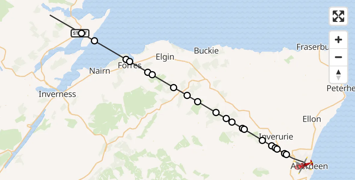
On Sunday, 22 February 2026 at 13:06, a Air Ambulance Helicopter departed from Kildary to Aberdeen City. It was the Air Ambulance Helicopter with registration number G-GSAS. The flight lasted 35 minutes. During that period, the aircraft travelled 94 miles at an average speed of 161 miles per hour at a maximum altitude of 3350 feet.
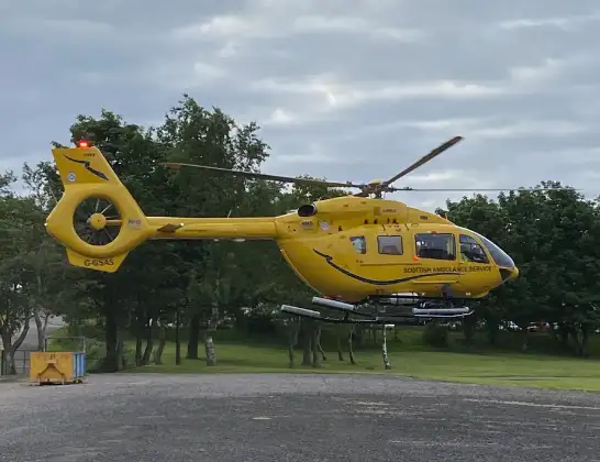
Helicopter: G-GSAS
The helicopter G-GSAS is used as a air ambulance helicopter. The main purpose of this aircraft is to transport a Mobile Medical Team to an incident as quickly as possible, enabling the trauma doctor to provide immediate first aid on site. The aircraft is flying this flight as Air Ambulance Helicopter.
Photo: Scanbus
94 miles
3350 feet
161 mph
35 minutes
13:06
13:41

Route
Westburn Drive, 13:41
Aberdeen City13:37
Muir of Kinellar13:37
Kintore13:36
Kemnay13:35
Kintore13:35
Kemnay13:34
Auchleven13:31
Leslie13:31
Kennethmont13:30
Gartly13:29
Coynachie13:28
Glass13:25
Dufftown13:24
Craigellachie13:22
Dallas13:19
Pluscarden13:18
Forres13:16
Broom of Moy13:15
North Sea13:11
Nigg Station13:09
Kildary, 13:09
Live flights
Today
Police Helicopter to Epping Forest, Green Lane26 Feb 23:43
Flights Kildary
Helicopter flights on your website?
You can easily display helicopter flights on your own website. Use the embed code.
