Air Ambulance Helicopter to Lea-by-Backford, Demage Lane
Sunday, 22 February 2026 | 9:54 | From Manchester Barton Aerodrome
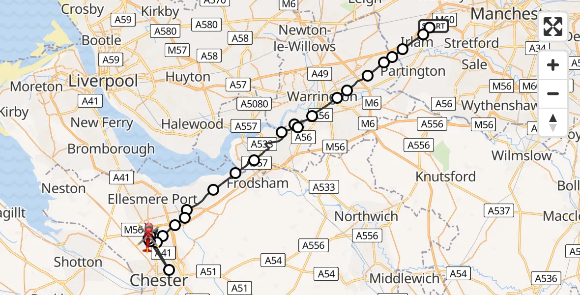
On Sunday, 22 February 2026 at 9:54, a Air Ambulance Helicopter departed from Manchester Barton Aerodrome to Lea-by-Backford. It was the Air Ambulance Helicopter with registration number G-NWEM. The flight lasted 19 minutes. During that period, the aircraft travelled 38 miles at an average speed of 122 miles per hour at a maximum altitude of 1150 feet.
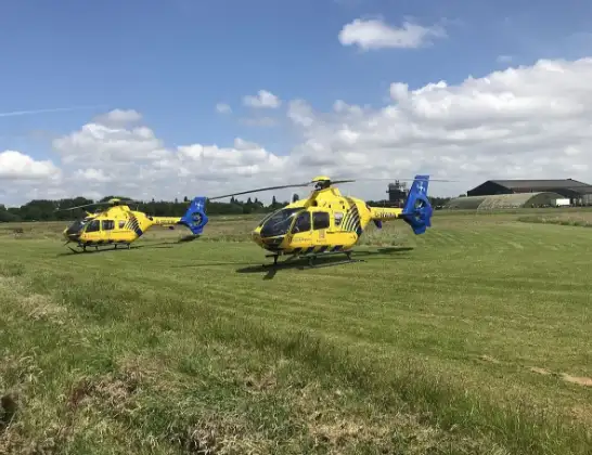
Helicopter: G-NWEM
The helicopter G-NWEM is used as a air ambulance helicopter. The main purpose of this aircraft is to transport a Mobile Medical Team to an incident as quickly as possible, enabling the trauma doctor to provide immediate first aid on site. The aircraft is flying this flight as Air Ambulance Helicopter.
Photo: Legion23
39 miles
1150 feet
122 mph
19 minutes
09:54
10:13

Route
Demage Lane, 10:13
Lea-by-Backford10:12
Backford10:10
Chester10:09
Backford10:09
Moston10:09
Backford10:08
Stoak10:07
Thornton-le-Moors10:07
Thornton le Moors10:06
Elton10:05
Frodsham10:04
Weston, Runcorn10:03
Runcorn, Liverpool City Region10:01
Warrington, Liverpool City Region10:01
Moore, Liverpool City Region10:01
Walton10:00
Warrington09:59
Poulton-with-Fearnhead09:59
Woolston09:58
Rixton-with-Glazebrook09:57
Glazebrook09:56
Cadishead, Salford09:56
Irlam, Salford09:55
Eccles, Manchester09:54
Liverpool Road, Salford09:54
Live flights
Today
Police Helicopter to Epping Forest, Green Lane26 Feb 23:43
Flights Lea-by-Backford
Helicopter flights on your website?
You can easily display helicopter flights on your own website. Use the embed code.
